Zijinglu geodata
Zijinglu (Henan) is a seat of a third-order administrative division; located in China in Asia/Shanghai (GMT+8) time zone. With population of 56,033 people, there are 781 cities with bigger population in this country. Compared to other cities in China, 74.1% of cities are located further ↓South; 57.7% of cities are located further →East and 54.2% of cities have higher elevation than Zijinglu. Note1


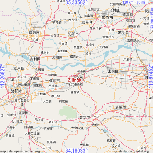
Zijinglu GPS coordinates[2]
34° 45' 36" North, 112° 58' 17.004" East
| Map corner | latitude | longitude |
|---|---|---|
| Upper-left | 35.33562°, | 112.26827° |
| Center: | 34.76°, | 112.97139° |
| Lower-right: | 34.18033°, | 113.67452° |
| Map W x H: | 128.5×128.5 km | = 79.8×79.8mi |
| max Lat: | 53.31946° ⇑25.9% North |
| Zijinglu: | 34.76° |
| min Lat: | ⇓74.1% South 18.22056° |
| min Long | Zijinglu | max Long |
| 75.07348° | 112.97139° | 134.28917° |
| W 42.3%⇐ | ⇒57.7% E |
Elevation
Elevation of Zijinglu is 136 m = 446 ft, and this is 348.8 m = 1144 ft below average elevation for this country.
| Max E: |
5622 m = 18445 ft | 54.2% |
| Avg. | 484.8 m = 1591 ft | |
| Zijinglu | 136 m = 446 ft | |
Min E: |
-3 m = -10 ft | 45.8% |
See also: Zijinglu elevation on elevation.city.
Geographical zone
Zijinglu is located in North temperate zone (between Tropic of Cancer and the Arctic Circle). Distance of this Northern Tropic circle is 1259 km =782.3 mi to South.| Distance of | km | miles | from Zijinglu |
|---|---|---|---|
| North Pole | 6142.1 | 3816.5 | to North |
| Arctic Circle | 3536.2 | 2197.3 | to North |
| Tropic Cancer | 1259 | 782.3 | to South |
| Equator | 3864.9 | 2401.5 | to South |


Nearby cities:
15 places around Zijinglu: (largest is in red/bold)
• Daqinglu
38.7 km =24 mi,  293°
293°
• Huichang
23.4 km =14.5 mi,  313°
313°
• Jiyuan
51.2 km =31.8 mi,  315°
315°
• Jiyuanlu
27.9 km =17.3 mi,  75°
75°
• Luoyang
48.1 km =29.9 mi,  259°
259°
• Mengjin Chengguanzhen
49.9 km =31 mi,  278°
278°
• Mucheng
53.4 km =33.2 mi,  45°
45°
• Qinghua
45.8 km =28.5 mi,  10°
10°
• Qingping
44.5 km =27.7 mi,  123°
123°
• Songyang
34.3 km =21.3 mi,  171°
171°
• Suohe
35.4 km =22 mi,  85°
85°
• Tanbei
36.6 km =22.7 mi,  355°
355°
• Wenquan
21.6 km =13.4 mi,  25°
25°
• Xixiang
45.8 km =28.5 mi,  347°
347°
• Yanshi Chengguanzhen
16.8 km =10.4 mi,  253°
253°
Sources, notices
• [Note1] Compared only with cities in China existing in our database
• [Src1] Map data: © OpenStreetMap contributors (CC-BY-SA)
• [Src2] Other city data from geonames.org with taken over terms of usage.
• [Src3] Geographical zone / Annual Mean Temperature by Robert A. Rohde @ Wikipedia
