Xialiang geodata
Xialiang (Sichuan) is a seat of a fourth-order administrative division; located in China in Asia/Shanghai (GMT+8) time zone. With population of 1,500 people, there are 1087 cities with bigger population in this country. Compared to other cities in China, 61.7% of cities are located further ↓South; 84.4% of cities are located further →East and 76.1% of cities have lower elevation than Xialiang. Note1


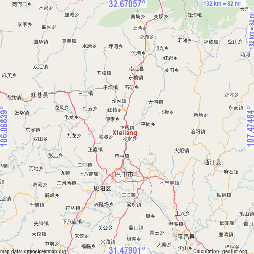
Xialiang GPS coordinates[2]
32° 4' 36.228" North, 106° 46' 17.436" East
| Map corner | latitude | longitude |
|---|---|---|
| Upper-left | 32.67057°, | 106.06839° |
| Center: | 32.07673°, | 106.77151° |
| Lower-right: | 31.47901°, | 107.47464° |
| Map W x H: | 132.5×132.5 km | = 82.3×82.3mi |
| max Lat: | 53.31946° ⇑38.3% North |
| Xialiang: | 32.07673° |
| min Lat: | ⇓61.7% South 18.22056° |
| min Long | Xialiang | max Long |
| 75.07348° | 106.77151° | 134.28917° |
| W 15.6%⇐ | ⇒84.4% E |
Elevation
Elevation of Xialiang is 550 m = 1804 ft, and this is 65.2 m = 214 ft above average elevation for this country.
| Max E: |
5622 m = 18445 ft | 23.9% |
| Xialiang | 550 m 1804 ft | |
| Avg. | 484.8 m = 1591 ft | |
Min E: |
-3 m = -10 ft | 76.1% |
See also: China elevation on elevation.city.
Geographical zone
Xialiang is located in North temperate zone (between Tropic of Cancer and the Arctic Circle). Distance of this Northern Tropic circle is 960.7 km =597 mi to South.| Distance of | km | miles | from Xialiang |
|---|---|---|---|
| North Pole | 6440.5 | 4001.9 | to North |
| Arctic Circle | 3834.6 | 2382.7 | to North |
| Tropic Cancer | 960.7 | 597 | to South |
| Equator | 3566.6 | 2216.2 | to South |


Nearby cities:
15 places around Xialiang: (largest is in red/bold)
• Bazhong
23.2 km =14.4 mi,  186°
186°
• Bazhou
24.6 km =15.3 mi,  179°
179°
• Changchi
14.4 km =8.9 mi,  312°
312°
• Chixi
8.7 km =5.4 mi,  355°
355°
• Dahe
20.1 km =12.5 mi,  48°
48°
• Fujia
8.9 km =5.5 mi,  300°
300°
• Gaoqiao
6.4 km =4 mi,  73°
73°
• Heitan
12.2 km =7.6 mi,  246°
246°
• Heping
20.5 km =12.7 mi,  260°
260°
• Jinxi
25.7 km =16 mi,  335°
335°
• Leba
22.8 km =14.2 mi, 337°
• Mumen
23.4 km =14.5 mi,  279°
279°
• Pinggang
11.2 km =7 mi,  79°
79°
• Shahe
14.7 km =9.1 mi, 342°
• Tuanjie
23.7 km =14.7 mi,  352°
352°
Sources, notices
• [Note1] Compared only with cities in China existing in our database
• [Src1] Map data: © OpenStreetMap contributors (CC-BY-SA)
• [Src2] Other city data from geonames.org with taken over terms of usage.
• [Src3] Geographical zone / Annual Mean Temperature by Robert A. Rohde @ Wikipedia
