Bazhong geodata
Bazhong (Sichuan) is a seat of a second-order administrative division; located in China in Asia/Shanghai (GMT+8) time zone. In our database, there are 1268 cities with bigger population. Compared to other cities in China, 60.4% of cities are located further ↓South; 84.4% of cities are located further →East and 72.1% of cities have lower elevation than Bazhong. Note1


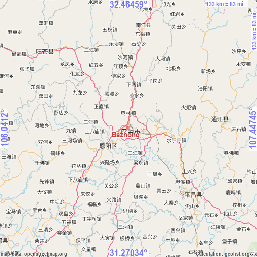
Bazhong GPS coordinates[2]
31° 52' 9.84" North, 106° 44' 39.552" East
| Map corner | latitude | longitude |
|---|---|---|
| Upper-left | 32.46459°, | 106.0412° |
| Center: | 31.8694°, | 106.74432° |
| Lower-right: | 31.27034°, | 107.44745° |
| Map W x H: | 132.8×132.8 km | = 82.5×82.5mi |
| max Lat: | 53.31946° ⇑39.6% North |
| Bazhong: | 31.8694° |
| min Lat: | ⇓60.4% South 18.22056° |
| min Long | Bazhong | max Long |
| 75.07348° | 106.74432° | 134.28917° |
| W 15.6%⇐ | ⇒84.4% E |
Elevation
Elevation of Bazhong is 455 m = 1493 ft, and this is 29.8 m = 98 ft below average elevation for this country.
| Max E: |
5622 m = 18445 ft | 27.9% |
| Avg. | 484.8 m = 1591 ft | |
| Bazhong | 455 m = 1493 ft | |
Min E: |
-3 m = -10 ft | 72.1% |
See also: China elevation on elevation.city.
Geographical zone
Bazhong is located in North temperate zone (between Tropic of Cancer and the Arctic Circle). Distance of this Northern Tropic circle is 937.6 km =582.6 mi to South.| Distance of | km | miles | from Bazhong |
|---|---|---|---|
| North Pole | 6463.5 | 4016.2 | to North |
| Arctic Circle | 3857.6 | 2397 | to North |
| Tropic Cancer | 937.6 | 582.6 | to South |
| Equator | 3543.5 | 2201.8 | to South |


Nearby cities:
15 places around Bazhong: (largest is in red/bold)
• Bazhou
3 km =1.9 mi,  120°
120°
• Changchi
33.7 km =20.9 mi,  346°
346°
• Chixi
31.7 km =19.7 mi,  3°
3°
• Dahe
40.4 km =25.1 mi,  26°
26°
• Fujia
28 km =17.4 mi, 349°
• Gaoqiao
26.3 km =16.3 mi,  19°
19°
• Heitan
20.2 km =12.6 mi,  334°
334°
• Heping
26.4 km =16.4 mi,  318°
318°
• Hualong
39.3 km =24.4 mi, 317°
• Huangmao
41 km =25.5 mi,  307°
307°
• Mumen
33.7 km =20.9 mi, 322°
• Pinggang
28.5 km =17.7 mi, 28°
• Shahe
37.1 km =23.1 mi,  357°
357°
• Shima
33.8 km =21 mi,  298°
298°
• Xialiang
23.2 km =14.4 mi,  6°
6°
Sources, notices
• [Note1] Compared only with cities in China existing in our database
• [Src1] Map data: © OpenStreetMap contributors (CC-BY-SA)
• [Src2] Other city data from geonames.org with taken over terms of usage.
• [Src3] Geographical zone / Annual Mean Temperature by Robert A. Rohde @ Wikipedia
