Tangjiafang geodata
Tangjiafang (Hunan) is a populated place; located in China in Asia/Shanghai (GMT+8) time zone. With population of 1,450 people, there are 1098 cities with bigger population in this country. Compared to other cities in China, 79.2% of cities are located further ↑North; 69.7% of cities are located further →East and 72.6% of cities have lower elevation than Tangjiafang. Note1


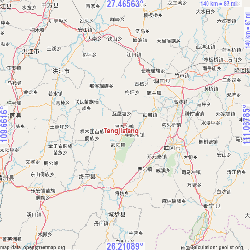
Tangjiafang GPS coordinates[2]
26° 50' 24" North, 110° 21' 52.992" East
| Map corner | latitude | longitude |
|---|---|---|
| Upper-left | 27.46563°, | 109.6616° |
| Center: | 26.84°, | 110.36472° |
| Lower-right: | 26.21089°, | 111.06785° |
| Map W x H: | 139.5×139.5 km | = 86.7×86.7mi |
| max Lat: | 53.31946° ⇑79.2% North |
| Tangjiafang: | 26.84° |
| min Lat: | ⇓20.8% South 18.22056° |
| min Long | Tangjiafang | max Long |
| 75.07348° | 110.36472° | 134.28917° |
| W 30.3%⇐ | ⇒69.7% E |
Elevation
Elevation of Tangjiafang is 466 m = 1529 ft, and this is 18.8 m = 62 ft below average elevation for this country.
| Max E: |
5622 m = 18445 ft | 27.4% |
| Avg. | 484.8 m = 1591 ft | |
| Tangjiafang | 466 m = 1529 ft | |
Min E: |
-3 m = -10 ft | 72.6% |
See also: China elevation on elevation.city.
Geographical zone
Tangjiafang is located in North temperate zone (between Tropic of Cancer and the Arctic Circle). Distance of this Northern Tropic circle is 378.4 km =235.1 mi to South.| Distance of | km | miles | from Tangjiafang |
|---|---|---|---|
| North Pole | 7022.7 | 4363.7 | to North |
| Arctic Circle | 4416.8 | 2744.5 | to North |
| Tropic Cancer | 378.4 | 235.1 | to South |
| Equator | 2984.3 | 1854.4 | to South |


Nearby cities:
15 places around Tangjiafang: (largest is in red/bold)
• Dengyuantai
24.4 km =15.2 mi,  133°
133°
• Dongkou
29.1 km =18.1 mi,  35°
35°
• Gaoyi
37.1 km =23.1 mi,  290°
290°
• Guanxia Miaozuxiang
31 km =19.3 mi,  196°
196°
• Hekou
31.8 km =19.8 mi,  250°
250°
• Huangtukuang
9.4 km =5.8 mi,  27°
27°
• Huayuan
18.8 km =11.7 mi,  64°
64°
• Jiangfang
37.7 km =23.4 mi,  182°
182°
• Lixiqiao
7.3 km =4.5 mi, 133°
• Maoping
35.9 km =22.3 mi,  172°
172°
• Ma’an
38.5 km =23.9 mi,  66°
66°
• Wantouqiao
25.3 km =15.7 mi,  89°
89°
• Wuyang
11.4 km =7.1 mi, 198°
• Xiyan
27.1 km =16.8 mi,  156°
156°
• Zhuzhoujiang Miaozuxiang
34.4 km =21.4 mi,  237°
237°
Sources, notices
• [Note1] Compared only with cities in China existing in our database
• [Src1] Map data: © OpenStreetMap contributors (CC-BY-SA)
• [Src2] Other city data from geonames.org with taken over terms of usage.
• [Src3] Geographical zone / Annual Mean Temperature by Robert A. Rohde @ Wikipedia
