Tantou geodata
Tantou (Zhejiang) is a seat of a fourth-order administrative division; located in China in Asia/Shanghai (GMT+8) time zone. In our database, there are 1268 cities with bigger population. Compared to other cities in China, 64.2% of cities are located further ↑North; 88.3% of cities are located further ←West and 68% of cities have higher elevation than Tantou. Note1


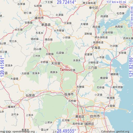
Tantou GPS coordinates[2]
29° 6' 42.048" North, 121° 7' 7.428" East
| Map corner | latitude | longitude |
|---|---|---|
| Upper-left | 29.72414°, | 120.41561° |
| Center: | 29.11168°, | 121.11873° |
| Lower-right: | 28.49555°, | 121.82186° |
| Map W x H: | 136.6×136.6 km | = 84.9×84.9mi |
| max Lat: | 53.31946° ⇑64.2% North |
| Tantou: | 29.11168° |
| min Lat: | ⇓35.8% South 18.22056° |
| min Long | Tantou | max Long |
| 75.07348° | 121.11873° | 134.28917° |
| W 88.3%⇐ | ⇒11.7% E |
Elevation
Elevation of Tantou is 60 m = 197 ft, and this is 424.8 m = 1394 ft below average elevation for this country.
| Max E: |
5622 m = 18445 ft | 68% |
| Avg. | 484.8 m = 1591 ft | |
| Tantou | 60 m = 197 ft | |
Min E: |
-3 m = -10 ft | 32% |
See also: China elevation on elevation.city.
Geographical zone
Tantou is located in North temperate zone (between Tropic of Cancer and the Arctic Circle). Distance of this Northern Tropic circle is 631 km =392.1 mi to South.| Distance of | km | miles | from Tantou |
|---|---|---|---|
| North Pole | 6770.1 | 4206.7 | to North |
| Arctic Circle | 4164.3 | 2587.6 | to North |
| Tropic Cancer | 631 | 392.1 | to South |
| Equator | 3236.9 | 2011.3 | to South |


Nearby cities:
15 places around Tantou: (largest is in red/bold)
• Baihedian
22.5 km =14 mi,  307°
307°
• Chalu
21.6 km =13.4 mi,  61°
61°
• Dacun
9.9 km =6.2 mi,  128°
128°
• Datian
24 km =14.9 mi,  161°
161°
• Feikeng
22.6 km =14 mi,  30°
30°
• Hetou
13.1 km =8.1 mi,  190°
190°
• Huangwu
5.5 km =3.4 mi,  123°
123°
• Huixi
19.1 km =11.9 mi,  151°
151°
• Pingqiao
23.5 km =14.6 mi,  281°
281°
• Sangzhou
19.9 km =12.4 mi,  75°
75°
• Shiliang
16.1 km =10 mi,  332°
332°
• Tiantai Chengguanzhen
9.1 km =5.7 mi,  287°
287°
• Tingpang
22.8 km =14.2 mi,  110°
110°
• Yongfeng
24.5 km =15.2 mi, 191°
• Zhu’ao
16.9 km =10.5 mi, 106°
Sources, notices
• [Note1] Compared only with cities in China existing in our database
• [Src1] Map data: © OpenStreetMap contributors (CC-BY-SA)
• [Src2] Other city data from geonames.org with taken over terms of usage.
• [Src3] Geographical zone / Annual Mean Temperature by Robert A. Rohde @ Wikipedia
