Lingjiang geodata
Lingjiang (Sichuan) is a seat of a third-order administrative division; located in China in Asia/Shanghai (GMT+8) time zone. In our database, there are 1268 cities with bigger population. Compared to other cities in China, 59.7% of cities are located further ↓South; 87.1% of cities are located further →East and 68.7% of cities have lower elevation than Lingjiang. Note1


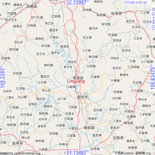
Lingjiang GPS coordinates[2]
31° 44' 4.56" North, 105° 55' 53.832" East
| Map corner | latitude | longitude |
|---|---|---|
| Upper-left | 32.33067°, | 105.2285° |
| Center: | 31.7346°, | 105.93162° |
| Lower-right: | 31.13467°, | 106.63475° |
| Map W x H: | 133×133 km | = 82.6×82.6mi |
| max Lat: | 53.31946° ⇑40.3% North |
| Lingjiang: | 31.7346° |
| min Lat: | ⇓59.7% South 18.22056° |
| min Long | Lingjiang | max Long |
| 75.07348° | 105.93162° | 134.28917° |
| W 12.9%⇐ | ⇒87.1% E |
Elevation
Elevation of Lingjiang is 389 m = 1276 ft, and this is 95.8 m = 314 ft below average elevation for this country.
| Max E: |
5622 m = 18445 ft | 31.3% |
| Avg. | 484.8 m = 1591 ft | |
| Lingjiang | 389 m = 1276 ft | |
Min E: |
-3 m = -10 ft | 68.7% |
See also: China elevation on elevation.city.
Geographical zone
Lingjiang is located in North temperate zone (between Tropic of Cancer and the Arctic Circle). Distance of this Northern Tropic circle is 922.6 km =573.3 mi to South.| Distance of | km | miles | from Lingjiang |
|---|---|---|---|
| North Pole | 6478.5 | 4025.6 | to North |
| Arctic Circle | 3872.6 | 2406.3 | to North |
| Tropic Cancer | 922.6 | 573.3 | to South |
| Equator | 3528.6 | 2192.6 | to South |


Nearby cities:
15 places around Lingjiang: (largest is in red/bold)
• Baishui
58.8 km =36.5 mi,  7°
7°
• Donghe
65.5 km =40.7 mi,  32°
32°
• Dongxi
47.4 km =29.5 mi,  39°
39°
• Gaopo
55.2 km =34.3 mi, 44°
• Huangmao
59.2 km =36.8 mi,  47°
47°
• Jiachuan
59.1 km =36.7 mi, 26°
• Langzhong
21.3 km =13.2 mi,  163°
163°
• Longwang
35.7 km =22.2 mi, 13°
• Nanlong
44.2 km =27.5 mi, 163°
• Pu’an
55.3 km =34.4 mi,  307°
307°
• Shangwu
57.4 km =35.7 mi,  20°
20°
• Shima
56.2 km =34.9 mi,  56°
56°
• Xinzheng
61.2 km =38 mi,  146°
146°
• Yuanba
65.8 km =40.9 mi,  2°
2°
• Zhanghua
51.8 km =32.2 mi, 27°
Sources, notices
• [Note1] Compared only with cities in China existing in our database
• [Src1] Map data: © OpenStreetMap contributors (CC-BY-SA)
• [Src2] Other city data from geonames.org with taken over terms of usage.
• [Src3] Geographical zone / Annual Mean Temperature by Robert A. Rohde @ Wikipedia
