Xinzheng geodata
Xinzheng (Sichuan) is a seat of a third-order administrative division; located in China in Asia/Shanghai (GMT+8) time zone. In our database, there are 1268 cities with bigger population. Compared to other cities in China, 56.8% of cities are located further ↓South; 85.9% of cities are located further →East and 65.4% of cities have lower elevation than Xinzheng. Note1


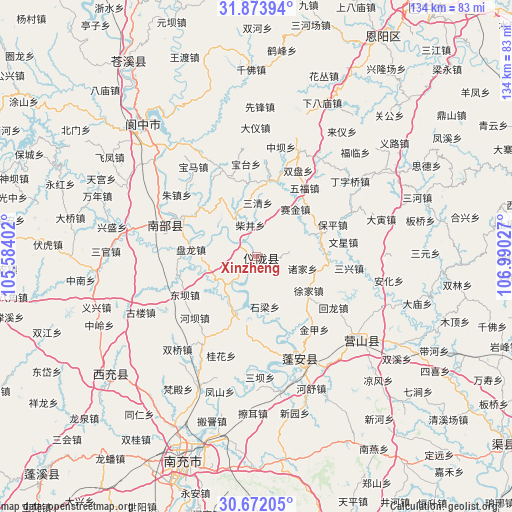
Xinzheng GPS coordinates[2]
31° 16' 29.676" North, 106° 17' 13.704" East
| Map corner | latitude | longitude |
|---|---|---|
| Upper-left | 31.87394°, | 105.58402° |
| Center: | 31.27491°, | 106.28714° |
| Lower-right: | 30.67205°, | 106.99027° |
| Map W x H: | 133.6×133.6 km | = 83×83mi |
| max Lat: | 53.31946° ⇑43.2% North |
| Xinzheng: | 31.27491° |
| min Lat: | ⇓56.8% South 18.22056° |
| min Long | Xinzheng | max Long |
| 75.07348° | 106.28714° | 134.28917° |
| W 14.1%⇐ | ⇒85.9% E |
Elevation
Elevation of Xinzheng is 333 m = 1093 ft, and this is 151.8 m = 498 ft below average elevation for this country.
| Max E: |
5622 m = 18445 ft | 34.6% |
| Avg. | 484.8 m = 1591 ft | |
| Xinzheng | 333 m = 1093 ft | |
Min E: |
-3 m = -10 ft | 65.4% |
See also: China elevation on elevation.city.
Geographical zone
Xinzheng is located in North temperate zone (between Tropic of Cancer and the Arctic Circle). Distance of this Northern Tropic circle is 871.5 km =541.5 mi to South.| Distance of | km | miles | from Xinzheng |
|---|---|---|---|
| North Pole | 6529.6 | 4057.3 | to North |
| Arctic Circle | 3923.7 | 2438.1 | to North |
| Tropic Cancer | 871.5 | 541.5 | to South |
| Equator | 3477.4 | 2160.8 | to South |


Nearby cities:
15 places around Xinzheng: (largest is in red/bold)
• Bazhong
79 km =49.1 mi,  33°
33°
• Bazhou
79.2 km =49.2 mi,  35°
35°
• Chicheng
77.7 km =48.3 mi,  224°
224°
• Gaoping
58.2 km =36.2 mi,  197°
197°
• Huohua
61.3 km =38.1 mi, 200°
• Jiangkou
83.4 km =51.8 mi,  67°
67°
• Jincheng
49.4 km =30.7 mi,  231°
231°
• Langchi
34.2 km =21.3 mi,  129°
129°
• Langzhong
41.4 km =25.7 mi,  317°
317°
• Lingjiang
61.2 km =38 mi,  326°
326°
• Nanchong
56.7 km =35.2 mi, 199°
• Nanlong
23 km =14.3 mi,  292°
292°
• Qujiang
80.7 km =50.1 mi, 126°
• Shima
83.1 km =51.6 mi,  9°
9°
• Zhoukou
28.8 km =17.9 mi,  157°
157°
Sources, notices
• [Note1] Compared only with cities in China existing in our database
• [Src1] Map data: © OpenStreetMap contributors (CC-BY-SA)
• [Src2] Other city data from geonames.org with taken over terms of usage.
• [Src3] Geographical zone / Annual Mean Temperature by Robert A. Rohde @ Wikipedia
