Dezhou geodata
Dezhou (Shandong) is a seat of a second-order administrative division; located in China in Asia/Shanghai (GMT+8) time zone. With population of 379,555 people, there are 155 cities with bigger population in this country. Compared to other cities in China, 80.2% of cities are located further ↓South; 61.8% of cities are located further ←West and 81.2% of cities have higher elevation than Dezhou. Note1


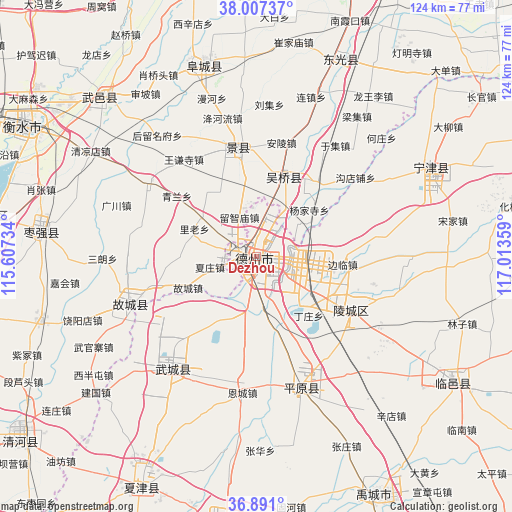
Dezhou GPS coordinates[2]
37° 27' 4.572" North, 116° 18' 37.656" East
| Map corner | latitude | longitude |
|---|---|---|
| Upper-left | 38.00737°, | 115.60734° |
| Center: | 37.45127°, | 116.31046° |
| Lower-right: | 36.891°, | 117.01359° |
| Map W x H: | 124.1×124.1 km | = 77.1×77.1mi |
| max Lat: | 53.31946° ⇑19.8% North |
| Dezhou: | 37.45127° |
| min Lat: | ⇓80.2% South 18.22056° |
| min Long | Dezhou | max Long |
| 75.07348° | 116.31046° | 134.28917° |
| W 61.8%⇐ | ⇒38.2% E |
Elevation
Elevation of Dezhou is 24 m = 79 ft, and this is 460.8 m = 1512 ft below average elevation for this country.
| Max E: |
5622 m = 18445 ft | 81.2% |
| Avg. | 484.8 m = 1591 ft | |
| Dezhou | 24 m = 79 ft | |
Min E: |
-3 m = -10 ft | 18.8% |
See also: Dezhou elevation on elevation.city.
Geographical zone
Dezhou is located in North temperate zone (between Tropic of Cancer and the Arctic Circle). Distance of this Northern Tropic circle is 1558.3 km =968.3 mi to South.| Distance of | km | miles | from Dezhou |
|---|---|---|---|
| North Pole | 5842.9 | 3630.6 | to North |
| Arctic Circle | 3237 | 2011.4 | to North |
| Tropic Cancer | 1558.3 | 968.3 | to South |
| Equator | 4164.2 | 2587.5 | to South |


Nearby cities:
15 places around Dezhou: (largest is in red/bold)
• Dengmingsi
62.8 km =39 mi,  37°
37°
• Dongguang
52.1 km =32.4 mi,  22°
22°
• Fucheng
48.5 km =30.1 mi,  343°
343°
• Hengshui
62.1 km =38.6 mi,  300°
300°
• Jiamaying
41.8 km =26 mi,  229°
229°
• Jingzhou
26.8 km =16.7 mi,  350°
350°
• Laocheng
50.7 km =31.5 mi, 227°
• Lingcheng
26.5 km =16.5 mi,  120°
120°
• Liuzhuang
68.7 km =42.7 mi,  223°
223°
• Nancheng
62.4 km =38.8 mi,  206°
206°
• Ningjin
47.9 km =29.8 mi,  62°
62°
• Sangyuan
20.4 km =12.7 mi, 18°
• Xiliguantun
52.8 km =32.8 mi, 218°
• Xinhu
1.3 km =0.8 mi,  245°
245°
• Youfang
68.4 km =42.5 mi, 224°
Sources, notices
• [Note1] Compared only with cities in China existing in our database
• [Src1] Map data: © OpenStreetMap contributors (CC-BY-SA)
• [Src2] Other city data from geonames.org with taken over terms of usage.
• [Src3] Geographical zone / Annual Mean Temperature by Robert A. Rohde @ Wikipedia
