Hengshui geodata
Hengshui (Hebei) is a populated place; located in China in Asia/Shanghai (GMT+8) time zone. With population of 456,356 people, there are 140 cities with bigger population in this country. Compared to other cities in China, 80.6% of cities are located further ↓South; 58.1% of cities are located further ←West and 80.8% of cities have higher elevation than Hengshui. Note1


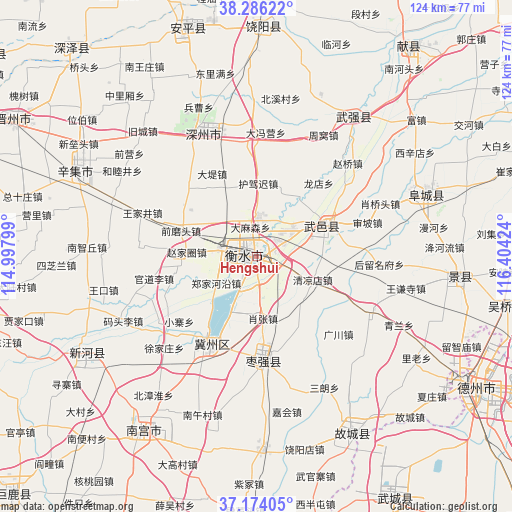
Hengshui GPS coordinates[2]
37° 43' 55.992" North, 115° 42' 3.996" East
| Map corner | latitude | longitude |
|---|---|---|
| Upper-left | 38.28622°, | 114.99799° |
| Center: | 37.73222°, | 115.70111° |
| Lower-right: | 37.17405°, | 116.40424° |
| Map W x H: | 123.7×123.7 km | = 76.9×76.9mi |
| max Lat: | 53.31946° ⇑19.4% North |
| Hengshui: | 37.73222° |
| min Lat: | ⇓80.6% South 18.22056° |
| min Long | Hengshui | max Long |
| 75.07348° | 115.70111° | 134.28917° |
| W 58.1%⇐ | ⇒41.9% E |
Elevation
Elevation of Hengshui is 25 m = 82 ft, and this is 459.8 m = 1509 ft below average elevation for this country.
| Max E: |
5622 m = 18445 ft | 80.8% |
| Avg. | 484.8 m = 1591 ft | |
| Hengshui | 25 m = 82 ft | |
Min E: |
-3 m = -10 ft | 19.2% |
See also: Hengshui elevation on elevation.city.
Geographical zone
Hengshui is located in North temperate zone (between Tropic of Cancer and the Arctic Circle). Distance of this Northern Tropic circle is 1589.5 km =987.7 mi to South.| Distance of | km | miles | from Hengshui |
|---|---|---|---|
| North Pole | 5811.6 | 3611.2 | to North |
| Arctic Circle | 3205.7 | 1991.9 | to North |
| Tropic Cancer | 1589.5 | 987.7 | to South |
| Equator | 4195.4 | 2606.9 | to South |


Nearby cities:
15 places around Hengshui: (largest is in red/bold)
• Dezhou
62.1 km =38.6 mi,  120°
120°
• Dongguang
75 km =46.6 mi,  76°
76°
• Duancun
64.2 km =39.9 mi,  24°
24°
• Fucheng
42.3 km =26.3 mi,  68°
68°
• Jiamaying
62.3 km =38.7 mi,  159°
159°
• Jingzhou
49.4 km =30.7 mi,  95°
95°
• Laocheng
67.6 km =42 mi,  165°
165°
• Nangong
50.6 km =31.4 mi,  214°
214°
• Sangyuan
61.1 km =38 mi, 101°
• Xiliguantun
75.7 km =47 mi, 163°
• Xing’an
75.9 km =47.2 mi,  294°
294°
• Xinhu
61.4 km =38.2 mi, 121°
• Xinji
47.6 km =29.6 mi, 293°
• Zhangduangu
80.1 km =49.8 mi,  303°
303°
• Zhoutou
63.4 km =39.4 mi, 288°
Sources, notices
• [Note1] Compared only with cities in China existing in our database
• [Src1] Map data: © OpenStreetMap contributors (CC-BY-SA)
• [Src2] Other city data from geonames.org with taken over terms of usage.
• [Src3] Geographical zone / Annual Mean Temperature by Robert A. Rohde @ Wikipedia
