Dayuan geodata
Dayuan (Fujian) is a seat of a fourth-order administrative division; located in China in Asia/Shanghai (GMT+8) time zone. In our database, there are 1268 cities with bigger population. Compared to other cities in China, 78.9% of cities are located further ↑North; 68.2% of cities are located further ←West and 65.5% of cities have lower elevation than Dayuan. Note1


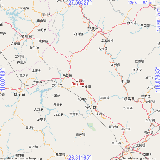
Dayuan GPS coordinates[2]
26° 56' 24.72" North, 117° 22' 25.392" East
| Map corner | latitude | longitude |
|---|---|---|
| Upper-left | 27.56527°, | 116.6706° |
| Center: | 26.9402°, | 117.37372° |
| Lower-right: | 26.31165°, | 118.07685° |
| Map W x H: | 139.4×139.4 km | = 86.6×86.6mi |
| max Lat: | 53.31946° ⇑78.9% North |
| Dayuan: | 26.9402° |
| min Lat: | ⇓21.1% South 18.22056° |
| min Long | Dayuan | max Long |
| 75.07348° | 117.37372° | 134.28917° |
| W 68.2%⇐ | ⇒31.8% E |
Elevation
Elevation of Dayuan is 335 m = 1099 ft, and this is 149.8 m = 491 ft below average elevation for this country.
| Max E: |
5622 m = 18445 ft | 34.5% |
| Avg. | 484.8 m = 1591 ft | |
| Dayuan | 335 m = 1099 ft | |
Min E: |
-3 m = -10 ft | 65.5% |
See also: China elevation on elevation.city.
Geographical zone
Dayuan is located in North temperate zone (between Tropic of Cancer and the Arctic Circle). Distance of this Northern Tropic circle is 389.6 km =242.1 mi to South.| Distance of | km | miles | from Dayuan |
|---|---|---|---|
| North Pole | 7011.6 | 4356.8 | to North |
| Arctic Circle | 4405.7 | 2737.6 | to North |
| Tropic Cancer | 389.6 | 242.1 | to South |
| Equator | 2995.5 | 1861.3 | to South |


Nearby cities:
15 places around Dayuan: (largest is in red/bold)
• Anren
6.6 km =4.1 mi,  60°
60°
• Gaotang
26.1 km =16.2 mi,  125°
125°
• Guangming
16.2 km =10.1 mi,  174°
174°
• Guyong
25.1 km =15.6 mi,  158°
158°
• Hongdun
29.3 km =18.2 mi,  81°
81°
• Huangtan
29.7 km =18.5 mi,  190°
190°
• Kaishan
28.3 km =17.6 mi,  222°
222°
• Moyuan
33.9 km =21.1 mi,  148°
148°
• Nankou
35.2 km =21.9 mi, 172°
• Shancheng
21.3 km =13.2 mi,  258°
258°
• Wanquan
35.3 km =21.9 mi,  212°
212°
• Wan’an
7.1 km =4.4 mi, 133°
• Xiaqu
25.1 km =15.6 mi,  238°
238°
• Yufang
12.5 km =7.8 mi,  250°
250°
• Zhukou
12 km =7.5 mi,  291°
291°
Sources, notices
• [Note1] Compared only with cities in China existing in our database
• [Src1] Map data: © OpenStreetMap contributors (CC-BY-SA)
• [Src2] Other city data from geonames.org with taken over terms of usage.
• [Src3] Geographical zone / Annual Mean Temperature by Robert A. Rohde @ Wikipedia
