Chendian geodata
Chendian (Hubei) is a seat of a fourth-order administrative division; located in China in Asia/Shanghai (GMT+8) time zone. In our database, there are 1268 cities with bigger population. Compared to other cities in China, 51.5% of cities are located further ↑North; 64.3% of cities are located further →East and 58.1% of cities have higher elevation than Chendian. Note1


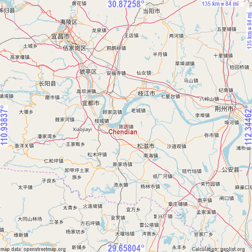
Chendian GPS coordinates[2]
30° 16' 1.884" North, 111° 38' 29.364" East
| Map corner | latitude | longitude |
|---|---|---|
| Upper-left | 30.87258°, | 110.93837° |
| Center: | 30.26719°, | 111.64149° |
| Lower-right: | 29.65804°, | 112.34462° |
| Map W x H: | 135×135 km | = 83.9×83.9mi |
| max Lat: | 53.31946° ⇑51.5% North |
| Chendian: | 30.26719° |
| min Lat: | ⇓48.5% South 18.22056° |
| min Long | Chendian | max Long |
| 75.07348° | 111.64149° | 134.28917° |
| W 35.7%⇐ | ⇒64.3% E |
Elevation
Elevation of Chendian is 111 m = 364 ft, and this is 373.8 m = 1226 ft below average elevation for this country.
| Max E: |
5622 m = 18445 ft | 58.1% |
| Avg. | 484.8 m = 1591 ft | |
| Chendian | 111 m = 364 ft | |
Min E: |
-3 m = -10 ft | 41.9% |
See also: China elevation on elevation.city.
Geographical zone
Chendian is located in North temperate zone (between Tropic of Cancer and the Arctic Circle). Distance of this Northern Tropic circle is 759.5 km =471.9 mi to South.| Distance of | km | miles | from Chendian |
|---|---|---|---|
| North Pole | 6641.7 | 4127 | to North |
| Arctic Circle | 4035.8 | 2507.7 | to North |
| Tropic Cancer | 759.5 | 471.9 | to South |
| Equator | 3365.4 | 2091.2 | to South |


Nearby cities:
15 places around Chendian: (largest is in red/bold)
• Babao
23.9 km =14.9 mi,  113°
113°
• Bailizhou
21.6 km =13.4 mi,  44°
44°
• Baiyang
21.5 km =13.4 mi,  323°
323°
• Dongshi
16.9 km =10.5 mi,  20°
20°
• Gaobazhou
28.6 km =17.8 mi,  311°
311°
• Gujiadian
9.4 km =5.8 mi, 318°
• Laocheng
10.8 km =6.7 mi, 36°
• Liujiachang
28.2 km =17.5 mi,  215°
215°
• Nanhai
20.3 km =12.6 mi,  139°
139°
• Sijiachang
20.2 km =12.6 mi,  185°
185°
• Songmuping
21.6 km =13.4 mi,  226°
226°
• Wangjiaqiao
15 km =9.3 mi,  169°
169°
• Yaojiadian
22.5 km =14 mi,  299°
299°
• Zhicheng
13.5 km =8.4 mi,  283°
283°
• Zhijiang
20.2 km =12.6 mi,  32°
32°
Sources, notices
• [Note1] Compared only with cities in China existing in our database
• [Src1] Map data: © OpenStreetMap contributors (CC-BY-SA)
• [Src2] Other city data from geonames.org with taken over terms of usage.
• [Src3] Geographical zone / Annual Mean Temperature by Robert A. Rohde @ Wikipedia
