Chengzhong geodata
Chengzhong (Guangxi) is a seat of a third-order administrative division; located in China in Asia/Shanghai (GMT+8) time zone. In our database, there are 1268 cities with bigger population. Compared to other cities in China, 97% of cities are located further ↑North; 83.7% of cities are located further →East and 65.5% of cities have lower elevation than Chengzhong. Note1


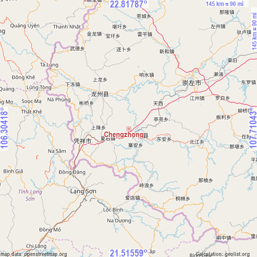
Chengzhong GPS coordinates[2]
22° 10' 5.664" North, 107° 0' 26.28" East
| Map corner | latitude | longitude |
|---|---|---|
| Upper-left | 22.81787°, | 106.30418° |
| Center: | 22.16824°, | 107.0073° |
| Lower-right: | 21.51559°, | 107.71043° |
| Map W x H: | 144.8×144.8 km | = 90×90mi |
| max Lat: | 53.31946° ⇑97% North |
| Chengzhong: | 22.16824° |
| min Lat: | ⇓3% South 18.22056° |
| min Long | Chengzhong | max Long |
| 75.07348° | 107.0073° | 134.28917° |
| W 16.3%⇐ | ⇒83.7% E |
Elevation
Elevation of Chengzhong is 335 m = 1099 ft, and this is 149.8 m = 491 ft below average elevation for this country.
| Max E: |
5622 m = 18445 ft | 34.5% |
| Avg. | 484.8 m = 1591 ft | |
| Chengzhong | 335 m = 1099 ft | |
Min E: |
-3 m = -10 ft | 65.5% |
See also: China elevation on elevation.city.
Geographical zone
Chengzhong is located in North Torrid zone (between Equator and Tropic of Cancer). Distance of this Northern Tropic circle is 141 km =87.6 mi to North.| Distance of | km | miles | from Chengzhong |
|---|---|---|---|
| North Pole | 7542.2 | 4686.5 | to North |
| Arctic Circle | 4936.3 | 3067.3 | to North |
| Tropic Cancer | 141 | 87.6 | to North |
| Equator | 2464.9 | 1531.6 | to South |


Nearby cities:
15 places around Chengzhong: (largest is in red/bold)
• Baihe
23.4 km =14.5 mi,  99°
99°
• Chengxiang
170.8 km =106.1 mi,  49°
49°
• Debao Chengguanzhen
142.4 km =88.5 mi,  341°
341°
• Longzhou
34.1 km =21.2 mi,  318°
318°
• Long’an Chengxiangzhen
133 km =82.6 mi,  29°
29°
• Matou
143.5 km =89.2 mi,  23°
23°
• Nanning
152.6 km =94.8 mi,  61°
61°
• Pingma
163.6 km =101.7 mi,  3°
3°
• Pumiao
165.1 km =102.6 mi,  66°
66°
• Qinzhou
168.2 km =104.5 mi, 97°
• Siyang
96.4 km =59.9 mi,  89°
89°
• Taocheng
80.5 km =50 mi,  10°
10°
• Tiandeng
106.9 km =66.4 mi, 4°
• Xinjing
131.7 km =81.8 mi,  330°
330°
• Xinning
106.5 km =66.2 mi, 58°
Sources, notices
• [Note1] Compared only with cities in China existing in our database
• [Src1] Map data: © OpenStreetMap contributors (CC-BY-SA)
• [Src2] Other city data from geonames.org with taken over terms of usage.
• [Src3] Geographical zone / Annual Mean Temperature by Robert A. Rohde @ Wikipedia
