Changjiang geodata
Changjiang (Guangdong) is a seat of a fourth-order administrative division; located in China in Asia/Shanghai (GMT+8) time zone. In our database, there are 1268 cities with bigger population. Compared to other cities in China, 85% of cities are located further ↑North; 51.8% of cities are located further →East and 59.6% of cities have lower elevation than Changjiang. Note1


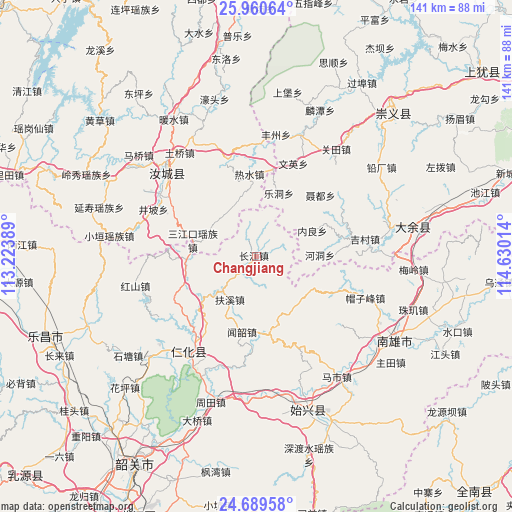
Changjiang GPS coordinates[2]
25° 19' 36.408" North, 113° 55' 37.236" East
| Map corner | latitude | longitude |
|---|---|---|
| Upper-left | 25.96064°, | 113.22389° |
| Center: | 25.32678°, | 113.92701° |
| Lower-right: | 24.68958°, | 114.63014° |
| Map W x H: | 141.3×141.3 km | = 87.8×87.8mi |
| max Lat: | 53.31946° ⇑85% North |
| Changjiang: | 25.32678° |
| min Lat: | ⇓15% South 18.22056° |
| min Long | Changjiang | max Long |
| 75.07348° | 113.92701° | 134.28917° |
| W 48.2%⇐ | ⇒51.8% E |
Elevation
Elevation of Changjiang is 255 m = 837 ft, and this is 229.8 m = 754 ft below average elevation for this country.
| Max E: |
5622 m = 18445 ft | 40.4% |
| Avg. | 484.8 m = 1591 ft | |
| Changjiang | 255 m = 837 ft | |
Min E: |
-3 m = -10 ft | 59.6% |
See also: China elevation on elevation.city.
Geographical zone
Changjiang is located in North temperate zone (between Tropic of Cancer and the Arctic Circle). Distance of this Northern Tropic circle is 210.2 km =130.6 mi to South.| Distance of | km | miles | from Changjiang |
|---|---|---|---|
| North Pole | 7191 | 4468.3 | to North |
| Arctic Circle | 4585.1 | 2849 | to North |
| Tropic Cancer | 210.2 | 130.6 | to South |
| Equator | 2816.1 | 1749.8 | to South |


Nearby cities:
15 places around Changjiang: (largest is in red/bold)
• Baishun
18.2 km =11.3 mi,  146°
146°
• Cangshi
35.3 km =21.9 mi,  128°
128°
• Chengkou
18.8 km =11.7 mi,  268°
268°
• Danxia
35.9 km =22.3 mi,  209°
209°
• Dongtang
40.5 km =25.2 mi,  227°
227°
• Fuxi
14 km =8.7 mi, 209°
• Hongshan
34.5 km =21.4 mi,  256°
256°
• Huangkeng
31.8 km =19.8 mi,  200°
200°
• Lanhe
23.8 km =14.8 mi,  115°
115°
• Maozifeng
32.1 km =19.9 mi,  110°
110°
• Mashi
39.8 km =24.7 mi, 146°
• Quan’an
40 km =24.9 mi, 123°
• Renhua
32 km =19.9 mi,  215°
215°
• Rucheng Chengguanzhen
31.5 km =19.6 mi,  317°
317°
• Wenshao
21.2 km =13.2 mi,  191°
191°
Sources, notices
• [Note1] Compared only with cities in China existing in our database
• [Src1] Map data: © OpenStreetMap contributors (CC-BY-SA)
• [Src2] Other city data from geonames.org with taken over terms of usage.
• [Src3] Geographical zone / Annual Mean Temperature by Robert A. Rohde @ Wikipedia
