Chang’an geodata
Chang’an (Guangdong) is a seat of a fourth-order administrative division; located in China in Asia/Shanghai (GMT+8) time zone. In our database, there are 1268 cities with bigger population. Compared to other cities in China, 90.8% of cities are located further ↑North; 63.1% of cities are located further →East and 70.3% of cities have higher elevation than Chang’an. Note1


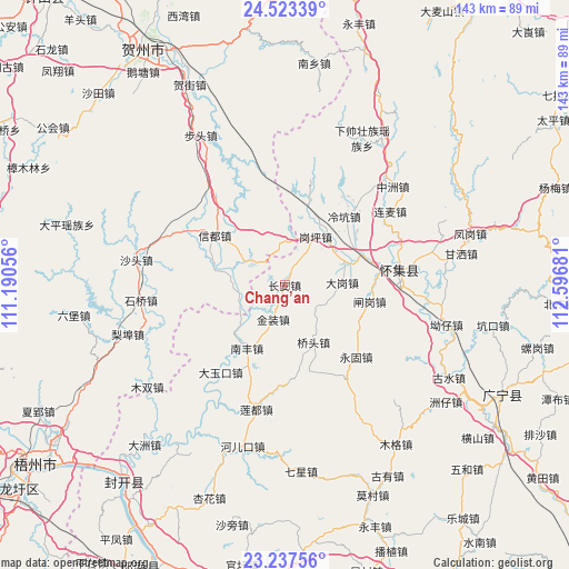
Chang’an GPS coordinates[2]
23° 52' 55.452" North, 111° 53' 37.248" East
| Map corner | latitude | longitude |
|---|---|---|
| Upper-left | 24.52339°, | 111.19056° |
| Center: | 23.88207°, | 111.89368° |
| Lower-right: | 23.23756°, | 112.59681° |
| Map W x H: | 143×143 km | = 88.9×88.9mi |
| max Lat: | 53.31946° ⇑90.8% North |
| Chang’an: | 23.88207° |
| min Lat: | ⇓9.2% South 18.22056° |
| min Long | Chang’an | max Long |
| 75.07348° | 111.89368° | 134.28917° |
| W 36.9%⇐ | ⇒63.1% E |
Elevation
Elevation of Chang’an is 51 m = 167 ft, and this is 433.8 m = 1423 ft below average elevation for this country.
| Max E: |
5622 m = 18445 ft | 70.3% |
| Avg. | 484.8 m = 1591 ft | |
| Chang’an | 51 m = 167 ft | |
Min E: |
-3 m = -10 ft | 29.7% |
See also: China elevation on elevation.city.
Geographical zone
Chang’an is located in North temperate zone (between Tropic of Cancer and the Arctic Circle). Distance of this Northern Tropic circle is 49.5 km =30.8 mi to South.| Distance of | km | miles | from Chang’an |
|---|---|---|---|
| North Pole | 7351.6 | 4568.1 | to North |
| Arctic Circle | 4745.7 | 2948.8 | to North |
| Tropic Cancer | 49.5 | 30.8 | to South |
| Equator | 2655.4 | 1650 | to South |


Nearby cities:
15 places around Chang’an: (largest is in red/bold)
• Dagang
14.5 km =9 mi,  89°
89°
• Dayukou
27.2 km =16.9 mi,  216°
216°
• Ganping
14.1 km =8.8 mi,  33°
33°
• Huaicheng
29 km =18 mi,  81°
81°
• Jinzhuang
9.4 km =5.8 mi,  197°
197°
• Lanzhong
21.1 km =13.1 mi,  15°
15°
• Lengkeng
22.5 km =14 mi,  41°
41°
• Liandu
33.3 km =20.7 mi,  192°
192°
• Liangcun
14.4 km =8.9 mi,  58°
58°
• Lianmai
32.3 km =20.1 mi, 55°
• Maning
18 km =11.2 mi, 23°
• Nanfeng
19.8 km =12.3 mi,  209°
209°
• Qiaotou
17.1 km =10.6 mi,  153°
153°
• Yonggu
25.7 km =16 mi,  135°
135°
• Zhagang
21.7 km =13.5 mi,  104°
104°
Sources, notices
• [Note1] Compared only with cities in China existing in our database
• [Src1] Map data: © OpenStreetMap contributors (CC-BY-SA)
• [Src2] Other city data from geonames.org with taken over terms of usage.
• [Src3] Geographical zone / Annual Mean Temperature by Robert A. Rohde @ Wikipedia
