Bapan geodata
Bapan (Guizhou) is a populated place; located in China in Asia/Shanghai (GMT+8) time zone. With population of 610 people, there are 1248 cities with bigger population in this country. Compared to other cities in China, 75.6% of cities are located further ↑North; 76.5% of cities are located further →East and 67.2% of cities have lower elevation than Bapan. Note1


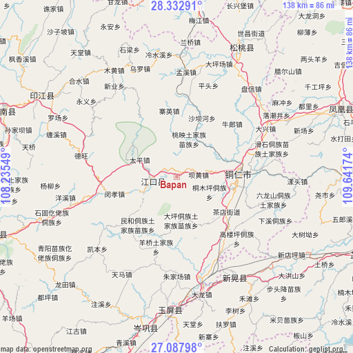
Bapan GPS coordinates[2]
27° 42' 43.992" North, 108° 56' 18.996" East
| Map corner | latitude | longitude |
|---|---|---|
| Upper-left | 28.33291°, | 108.23549° |
| Center: | 27.71222°, | 108.93861° |
| Lower-right: | 27.08798°, | 109.64174° |
| Map W x H: | 138.4×138.4 km | = 86×86mi |
| max Lat: | 53.31946° ⇑75.6% North |
| Bapan: | 27.71222° |
| min Lat: | ⇓24.4% South 18.22056° |
| min Long | Bapan | max Long |
| 75.07348° | 108.93861° | 134.28917° |
| W 23.5%⇐ | ⇒76.5% E |
Elevation
Elevation of Bapan is 362 m = 1188 ft, and this is 122.8 m = 403 ft below average elevation for this country.
| Max E: |
5622 m = 18445 ft | 32.8% |
| Avg. | 484.8 m = 1591 ft | |
| Bapan | 362 m = 1188 ft | |
Min E: |
-3 m = -10 ft | 67.2% |
See also: China elevation on elevation.city.
Geographical zone
Bapan is located in North temperate zone (between Tropic of Cancer and the Arctic Circle). Distance of this Northern Tropic circle is 475.4 km =295.4 mi to South.| Distance of | km | miles | from Bapan |
|---|---|---|---|
| North Pole | 6925.8 | 4303.5 | to North |
| Arctic Circle | 4319.9 | 2684.3 | to North |
| Tropic Cancer | 475.4 | 295.4 | to South |
| Equator | 3081.3 | 1914.6 | to South |


Nearby cities:
15 places around Bapan: (largest is in red/bold)
• Bahuang
7.9 km =4.9 mi,  85°
85°
• Chadian
24 km =14.9 mi,  127°
127°
• Chatian
44 km =27.3 mi,  76°
76°
• Chuandong
29.7 km =18.5 mi,  69°
69°
• Mengxi
41.2 km =25.6 mi,  5°
5°
• Minhe
25.1 km =15.6 mi,  219°
219°
• Mulong
13 km =8.1 mi, 81°
• Pingtou
38.1 km =23.7 mi,  19°
19°
• Tongren
24.3 km =15.1 mi, 88°
• Wanshan
33.7 km =20.9 mi, 128°
• Xinhuang
42.3 km =26.3 mi,  152°
152°
• Xinye
43.6 km =27.1 mi,  326°
326°
• Yangliugou
31.3 km =19.4 mi,  207°
207°
• Youyupu
26.3 km =16.3 mi, 132°
• Zhujiachang
39.4 km =24.5 mi,  180°
180°
Sources, notices
• [Note1] Compared only with cities in China existing in our database
• [Src1] Map data: © OpenStreetMap contributors (CC-BY-SA)
• [Src2] Other city data from geonames.org with taken over terms of usage.
• [Src3] Geographical zone / Annual Mean Temperature by Robert A. Rohde @ Wikipedia
