Muli geodata
Muli (Zhejiang) is a seat of a fourth-order administrative division; located in China in Asia/Shanghai (GMT+8) time zone. In our database, there are 1268 cities with bigger population. Compared to other cities in China, 70.1% of cities are located further ↑North; 84.1% of cities are located further ←West and 80.8% of cities have lower elevation than Muli. Note1


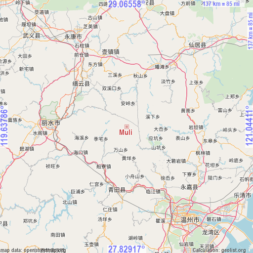
Muli GPS coordinates[2]
28° 26' 57.048" North, 120° 20' 27.528" East
| Map corner | latitude | longitude |
|---|---|---|
| Upper-left | 29.06558°, | 119.63786° |
| Center: | 28.44918°, | 120.34098° |
| Lower-right: | 27.82917°, | 121.04411° |
| Map W x H: | 137.5×137.5 km | = 85.4×85.4mi |
| max Lat: | 53.31946° ⇑70.1% North |
| Muli: | 28.44918° |
| min Lat: | ⇓29.9% South 18.22056° |
| min Long | Muli | max Long |
| 75.07348° | 120.34098° | 134.28917° |
| W 84.1%⇐ | ⇒15.9% E |
Elevation
Elevation of Muli is 733 m = 2405 ft, and this is 248.2 m = 814 ft above average elevation for this country.
| Max E: |
5622 m = 18445 ft | 19.2% |
| Muli | 733 m 2405 ft | |
| Avg. | 484.8 m = 1591 ft | |
Min E: |
-3 m = -10 ft | 80.8% |
See also: China elevation on elevation.city.
Geographical zone
Muli is located in North temperate zone (between Tropic of Cancer and the Arctic Circle). Distance of this Northern Tropic circle is 557.3 km =346.3 mi to South.| Distance of | km | miles | from Muli |
|---|---|---|---|
| North Pole | 6843.8 | 4252.5 | to North |
| Arctic Circle | 4237.9 | 2633.3 | to North |
| Tropic Cancer | 557.3 | 346.3 | to South |
| Equator | 3163.3 | 1965.6 | to South |


Nearby cities:
15 places around Muli: (largest is in red/bold)
• Anling
12.9 km =8 mi,  2°
2°
• Dayang
10.5 km =6.5 mi,  309°
309°
• Dayuan
18 km =11.2 mi,  353°
353°
• Dongyuan
18 km =11.2 mi,  216°
216°
• Gaohu
17.4 km =10.8 mi, 223°
• Huangyang
17 km =10.6 mi,  176°
176°
• Jiekeng
6.2 km =3.9 mi,  91°
91°
• Lizhai
15.4 km =9.6 mi,  245°
245°
• Nanxi
6 km =3.7 mi,  328°
328°
• Shiran
12.8 km =8 mi,  148°
148°
• Wanshan
13 km =8.1 mi,  194°
194°
• Xixia
15.2 km =9.4 mi,  68°
68°
• Xi’ao
5.8 km =3.6 mi,  120°
120°
• Xunzhai
17.8 km =11.1 mi,  129°
129°
• Yingkeng
16.9 km =10.5 mi,  111°
111°
Sources, notices
• [Note1] Compared only with cities in China existing in our database
• [Src1] Map data: © OpenStreetMap contributors (CC-BY-SA)
• [Src2] Other city data from geonames.org with taken over terms of usage.
• [Src3] Geographical zone / Annual Mean Temperature by Robert A. Rohde @ Wikipedia
