Suileng geodata
Suileng (Heilongjiang) is a seat of a third-order administrative division; located in China in Asia/Shanghai (GMT+8) time zone. With population of 57,124 people, there are 768 cities with bigger population in this country. Compared to other cities in China, 97.4% of cities are located further ↓South; 96.8% of cities are located further ←West and 53.5% of cities have lower elevation than Suileng. Note1


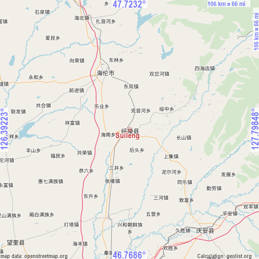
Suileng GPS coordinates[2]
47° 14' 52.98" North, 127° 5' 43.26" East
| Map corner | latitude | longitude |
|---|---|---|
| Upper-left | 47.7232°, | 126.39223° |
| Center: | 47.24805°, | 127.09535° |
| Lower-right: | 46.7686°, | 127.79848° |
| Map W x H: | 106.1×106.1 km | = 65.9×65.9mi |
| max Lat: | 53.31946° ⇑2.6% North |
| Suileng: | 47.24805° |
| min Lat: | ⇓97.4% South 18.22056° |
| min Long | Suileng | max Long |
| 75.07348° | 127.09535° | 134.28917° |
| W 96.8%⇐ | ⇒3.2% E |
Elevation
Elevation of Suileng is 193 m = 633 ft, and this is 291.8 m = 957 ft below average elevation for this country.
| Max E: |
5622 m = 18445 ft | 46.5% |
| Avg. | 484.8 m = 1591 ft | |
| Suileng | 193 m = 633 ft | |
Min E: |
-3 m = -10 ft | 53.5% |
See also: Suileng elevation on elevation.city.
Geographical zone
Suileng is located in North temperate zone (between Tropic of Cancer and the Arctic Circle). Distance of this North polar circle is 2147.7 km =1334.5 mi to North.| Distance of | km | miles | from Suileng |
|---|---|---|---|
| North Pole | 4753.6 | 2953.7 | to North |
| Arctic Circle | 2147.7 | 1334.5 | to North |
| Tropic Cancer | 2647.6 | 1645.1 | to South |
| Equator | 5253.5 | 3264.4 | to South |


Nearby cities:
15 places around Suileng: (largest is in red/bold)
• Changshan
22.1 km =13.7 mi,  98°
98°
• Dongfeng
18 km =11.2 mi,  2°
2°
• Geshan
16.5 km =10.3 mi,  70°
70°
• Gongliu
24.1 km =15 mi,  226°
226°
• Gongrong
20.6 km =12.8 mi,  243°
243°
• Hainan
8.8 km =5.5 mi,  258°
258°
• Houtou
8.7 km =5.4 mi,  158°
158°
• Kaoshan
4.2 km =2.6 mi,  129°
129°
• Keyinhe
9.7 km =6 mi,  34°
34°
• Leye
12.2 km =7.6 mi,  293°
293°
• Sanjing
16.3 km =10.1 mi,  198°
198°
• Shangji
20.1 km =12.5 mi,  121°
121°
• Suizhong
17.8 km =11.1 mi,  60°
60°
• Xiangfu
23.8 km =14.8 mi,  277°
277°
• Zhangxiong
22.1 km =13.7 mi, 198°
Sources, notices
• [Note1] Compared only with cities in China existing in our database
• [Src1] Map data: © OpenStreetMap contributors (CC-BY-SA)
• [Src2] Other city data from geonames.org with taken over terms of usage.
• [Src3] Geographical zone / Annual Mean Temperature by Robert A. Rohde @ Wikipedia
