Lüwang geodata
Lüwang (Liaoning) is a seat of a fourth-order administrative division; located in China in Asia/Shanghai (GMT+8) time zone. In our database, there are 1268 cities with bigger population. Compared to other cities in China, 87.8% of cities are located further ↓South; 92.6% of cities are located further ←West and 61.9% of cities have lower elevation than Lüwang. Note1


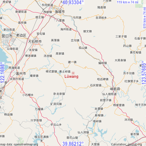
Lüwang GPS coordinates[2]
40° 23' 58.956" North, 122° 52' 22.512" East
| Map corner | latitude | longitude |
|---|---|---|
| Upper-left | 40.93304°, | 122.1698° |
| Center: | 40.39971°, | 122.87292° |
| Lower-right: | 39.86212°, | 123.57605° |
| Map W x H: | 119.1×119.1 km | = 74×74mi |
| max Lat: | 53.31946° ⇑12.2% North |
| Lüwang: | 40.39971° |
| min Lat: | ⇓87.8% South 18.22056° |
| min Long | Lüwang | max Long |
| 75.07348° | 122.87292° | 134.28917° |
| W 92.6%⇐ | ⇒7.4% E |
Elevation
Elevation of Lüwang is 281 m = 922 ft, and this is 203.8 m = 669 ft below average elevation for this country.
| Max E: |
5622 m = 18445 ft | 38.1% |
| Avg. | 484.8 m = 1591 ft | |
| Lüwang | 281 m = 922 ft | |
Min E: |
-3 m = -10 ft | 61.9% |
See also: China elevation on elevation.city.
Geographical zone
Lüwang is located in North temperate zone (between Tropic of Cancer and the Arctic Circle). Distance of this Northern Tropic circle is 1886.1 km =1172 mi to South.| Distance of | km | miles | from Lüwang |
|---|---|---|---|
| North Pole | 5515 | 3426.9 | to North |
| Arctic Circle | 2909.1 | 1807.6 | to North |
| Tropic Cancer | 1886.1 | 1172 | to South |
| Equator | 4492 | 2791.2 | to South |


Nearby cities:
15 places around Lüwang: (largest is in red/bold)
• Bangshipu
18 km =11.2 mi,  275°
275°
• Chagou
24.2 km =15 mi,  357°
357°
• Gaotun
23.2 km =14.4 mi, 279°
• Gushan
22.1 km =13.7 mi,  20°
20°
• Hadabei
24.7 km =15.3 mi,  105°
105°
• Huangtuling
7.1 km =4.4 mi, 282°
• Jianyi
9.2 km =5.7 mi, 355°
• Kuangdonggou
28.9 km =18 mi,  209°
209°
• Pianling
25.7 km =16 mi,  70°
70°
• Shihuiyao
22 km =13.7 mi,  116°
116°
• Taipingzhuang
26.2 km =16.3 mi,  192°
192°
• Tangchi
25.6 km =15.9 mi,  304°
304°
• Weiziyu
15.4 km =9.6 mi,  306°
306°
• Wolongquan
19.6 km =12.2 mi,  216°
216°
• Zhoujia
19.4 km =12.1 mi,  325°
325°
Sources, notices
• [Note1] Compared only with cities in China existing in our database
• [Src1] Map data: © OpenStreetMap contributors (CC-BY-SA)
• [Src2] Other city data from geonames.org with taken over terms of usage.
• [Src3] Geographical zone / Annual Mean Temperature by Robert A. Rohde @ Wikipedia
