Lubei geodata
Lubei (Inner Mongolia) is a seat of a third-order administrative division; located in China in Asia/Shanghai (GMT+8) time zone. In our database, there are 1268 cities with bigger population. Compared to other cities in China, 93.6% of cities are located further ↓South; 87.6% of cities are located further ←West and 65.2% of cities have lower elevation than Lubei. Note1


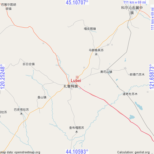
Lubei GPS coordinates[2]
44° 36' 31.176" North, 120° 57' 20.16" East
| Map corner | latitude | longitude |
|---|---|---|
| Upper-left | 45.10707°, | 120.25248° |
| Center: | 44.60866°, | 120.9556° |
| Lower-right: | 44.10593°, | 121.65873° |
| Map W x H: | 111.3×111.3 km | = 69.2×69.2mi |
| max Lat: | 53.31946° ⇑6.4% North |
| Lubei: | 44.60866° |
| min Lat: | ⇓93.6% South 18.22056° |
| min Long | Lubei | max Long |
| 75.07348° | 120.9556° | 134.28917° |
| W 87.6%⇐ | ⇒12.4% E |
Elevation
Elevation of Lubei is 331 m = 1086 ft, and this is 153.8 m = 505 ft below average elevation for this country.
| Max E: |
5622 m = 18445 ft | 34.8% |
| Avg. | 484.8 m = 1591 ft | |
| Lubei | 331 m = 1086 ft | |
Min E: |
-3 m = -10 ft | 65.2% |
See also: China elevation on elevation.city.
Geographical zone
Lubei is located in North temperate zone (between Tropic of Cancer and the Arctic Circle). Distance of this Northern Tropic circle is 2354.1 km =1462.8 mi to South.| Distance of | km | miles | from Lubei |
|---|---|---|---|
| North Pole | 5047 | 3136.1 | to North |
| Arctic Circle | 2441.2 | 1516.9 | to North |
| Tropic Cancer | 2354.1 | 1462.8 | to South |
| Equator | 4960 | 3082 | to South |


Nearby cities:
15 places around Lubei: (largest is in red/bold)
• Bayan Huxu
69.6 km =43.2 mi,  30°
30°
• Bayan Tal
46.3 km =28.8 mi,  239°
239°
• Bayart Huxu
72.5 km =45 mi,  318°
318°
• Bor Ondor
120.8 km =75.1 mi,  108°
108°
• Dolod
41 km =25.5 mi, 107°
• Gaoliban
73.3 km =45.5 mi,  65°
65°
• Jurh
72.5 km =45 mi,  128°
128°
• Kailu
115.7 km =71.9 mi,  170°
170°
• Shuiquan
119.5 km =74.3 mi, 34°
• Tianshan
105.6 km =65.6 mi,  220°
220°
• Tule Mod
104.9 km =65.2 mi,  356°
356°
• Tuquan
102 km =63.4 mi, 30°
• Xianghai
119.7 km =74.4 mi, 66°
• Xinfa
118.4 km =73.6 mi,  91°
91°
• Xuetian
120.1 km =74.6 mi,  11°
11°
Sources, notices
• [Note1] Compared only with cities in China existing in our database
• [Src1] Map data: © OpenStreetMap contributors (CC-BY-SA)
• [Src2] Other city data from geonames.org with taken over terms of usage.
• [Src3] Geographical zone / Annual Mean Temperature by Robert A. Rohde @ Wikipedia
