Beijiang geodata
Beijiang (Heilongjiang) is a seat of a fourth-order administrative division; located in China in Asia/Shanghai (GMT+8) time zone. In our database, there are 1268 cities with bigger population. Compared to other cities in China, 99.8% of cities are located further ↓South; 95.6% of cities are located further ←West and 67.6% of cities have lower elevation than Beijiang. Note1


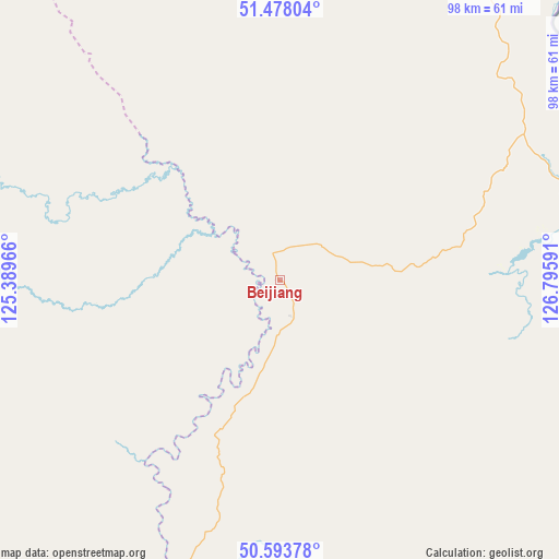
Beijiang GPS coordinates[2]
51° 2' 16.872" North, 126° 5' 34.008" East
| Map corner | latitude | longitude |
|---|---|---|
| Upper-left | 51.47804°, | 125.38966° |
| Center: | 51.03802°, | 126.09278° |
| Lower-right: | 50.59378°, | 126.79591° |
| Map W x H: | 98.3×98.3 km | = 61.1×61.1mi |
| max Lat: | 53.31946° ⇑0.2% North |
| Beijiang: | 51.03802° |
| min Lat: | ⇓99.8% South 18.22056° |
| min Long | Beijiang | max Long |
| 75.07348° | 126.09278° | 134.28917° |
| W 95.6%⇐ | ⇒4.4% E |
Elevation
Elevation of Beijiang is 370 m = 1214 ft, and this is 114.8 m = 377 ft below average elevation for this country.
| Max E: |
5622 m = 18445 ft | 32.4% |
| Avg. | 484.8 m = 1591 ft | |
| Beijiang | 370 m = 1214 ft | |
Min E: |
-3 m = -10 ft | 67.6% |
See also: China elevation on elevation.city.
Geographical zone
Beijiang is located in North temperate zone (between Tropic of Cancer and the Arctic Circle). Distance of this North polar circle is 1726.3 km =1072.7 mi to North.| Distance of | km | miles | from Beijiang |
|---|---|---|---|
| North Pole | 4332.2 | 2691.9 | to North |
| Arctic Circle | 1726.3 | 1072.7 | to North |
| Tropic Cancer | 3069 | 1907 | to South |
| Equator | 5674.9 | 3526.2 | to South |


Nearby cities:
15 places around Beijiang: (largest is in red/bold)
• Duobaoshan
103 km =64 mi,  192°
192°
• Guyuan
125.2 km =77.8 mi,  264°
264°
• Handaqi
100.6 km =62.5 mi,  175°
175°
• Hanjiayuan
116.7 km =72.5 mi,  347°
347°
• Heihe
132.3 km =82.2 mi,  131°
131°
• Jinshan
126.4 km =78.5 mi,  13°
13°
• Khuma
84.3 km =52.4 mi,  26°
26°
• Sanka
57.7 km =35.9 mi,  77°
77°
• Shangmachang
114.2 km =71 mi, 130°
• Xiaoyangqi
129.6 km =80.5 mi, 258°
• Xifengshan
80.8 km =50.2 mi, 130°
• Xinghua
121.6 km =75.6 mi,  357°
357°
• Xing’an
132.2 km =82.1 mi, 131°
• Xinsheng Elunchunzu
76.6 km =47.6 mi,  140°
140°
• Zhangdiyingzi
102.6 km =63.8 mi,  122°
122°
Sources, notices
• [Note1] Compared only with cities in China existing in our database
• [Src1] Map data: © OpenStreetMap contributors (CC-BY-SA)
• [Src2] Other city data from geonames.org with taken over terms of usage.
• [Src3] Geographical zone / Annual Mean Temperature by Robert A. Rohde @ Wikipedia
