Gonghe geodata
Gonghe (Heilongjiang) is a seat of a fourth-order administrative division; located in China in Asia/Shanghai (GMT+8) time zone. In our database, there are 1268 cities with bigger population. Compared to other cities in China, 97.7% of cities are located further ↓South; 96.2% of cities are located further ←West and 55.4% of cities have lower elevation than Gonghe. Note1


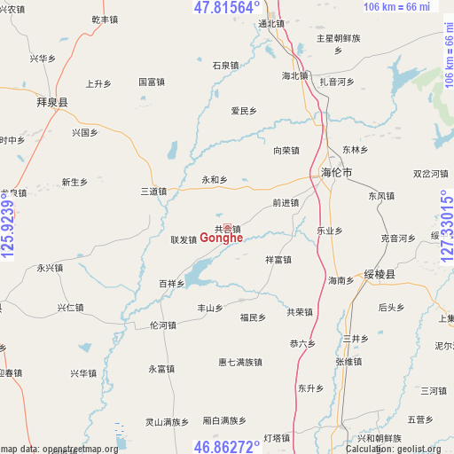
Gonghe GPS coordinates[2]
47° 20' 28.788" North, 126° 37' 37.272" East
| Map corner | latitude | longitude |
|---|---|---|
| Upper-left | 47.81564°, | 125.9239° |
| Center: | 47.34133°, | 126.62702° |
| Lower-right: | 46.86272°, | 127.33015° |
| Map W x H: | 106×106 km | = 65.9×65.9mi |
| max Lat: | 53.31946° ⇑2.3% North |
| Gonghe: | 47.34133° |
| min Lat: | ⇓97.7% South 18.22056° |
| min Long | Gonghe | max Long |
| 75.07348° | 126.62702° | 134.28917° |
| W 96.2%⇐ | ⇒3.8% E |
Elevation
Elevation of Gonghe is 210 m = 689 ft, and this is 274.8 m = 902 ft below average elevation for this country.
| Max E: |
5622 m = 18445 ft | 44.6% |
| Avg. | 484.8 m = 1591 ft | |
| Gonghe | 210 m = 689 ft | |
Min E: |
-3 m = -10 ft | 55.4% |
See also: China elevation on elevation.city.
Geographical zone
Gonghe is located in North temperate zone (between Tropic of Cancer and the Arctic Circle). Distance of this North polar circle is 2137.3 km =1328.1 mi to North.| Distance of | km | miles | from Gonghe |
|---|---|---|---|
| North Pole | 4743.2 | 2947.3 | to North |
| Arctic Circle | 2137.3 | 1328.1 | to North |
| Tropic Cancer | 2657.9 | 1651.5 | to South |
| Equator | 5263.9 | 3270.8 | to South |


Nearby cities:
15 places around Gonghe: (largest is in red/bold)
• Baixiang
18.6 km =11.6 mi,  225°
225°
• Fengshan
19.2 km =11.9 mi,  191°
191°
• Fumin
21.8 km =13.5 mi,  162°
162°
• Gongrong
25.9 km =16.1 mi,  139°
139°
• Guangrong
23.4 km =14.5 mi,  263°
263°
• Haixing
17.3 km =10.7 mi,  169°
169°
• Huaguang
25.4 km =15.8 mi,  322°
322°
• Leye
24.7 km =15.3 mi,  102°
102°
• Lianfa
10.7 km =6.6 mi, 255°
• Lunhe
27.1 km =16.8 mi,  213°
213°
• Qianjin
15.3 km =9.5 mi,  66°
66°
• Sandao
19 km =11.8 mi,  296°
296°
• Xiangfu
13.8 km =8.6 mi,  122°
122°
• Xiangrong
23.6 km =14.7 mi,  36°
36°
• Yonghe
11.8 km =7.3 mi,  346°
346°
Sources, notices
• [Note1] Compared only with cities in China existing in our database
• [Src1] Map data: © OpenStreetMap contributors (CC-BY-SA)
• [Src2] Other city data from geonames.org with taken over terms of usage.
• [Src3] Geographical zone / Annual Mean Temperature by Robert A. Rohde @ Wikipedia
