Songling geodata
Songling (Hebei) is a populated place; located in China in Asia/Shanghai (GMT+8) time zone. With population of 52,277 people, there are 798 cities with bigger population in this country. Compared to other cities in China, 87.5% of cities are located further ↓South; 71.8% of cities are located further ←West and 54.6% of cities have higher elevation than Songling. Note1


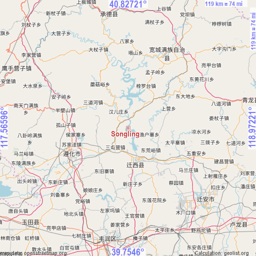
Songling GPS coordinates[2]
40° 17' 34.908" North, 118° 16' 8.688" East
| Map corner | latitude | longitude |
|---|---|---|
| Upper-left | 40.82721°, | 117.56596° |
| Center: | 40.29303°, | 118.26908° |
| Lower-right: | 39.7546°, | 118.97221° |
| Map W x H: | 119.3×119.3 km | = 74.1×74.1mi |
| max Lat: | 53.31946° ⇑12.5% North |
| Songling: | 40.29303° |
| min Lat: | ⇓87.5% South 18.22056° |
| min Long | Songling | max Long |
| 75.07348° | 118.26908° | 134.28917° |
| W 71.8%⇐ | ⇒28.2% E |
Elevation
Elevation of Songling is 134 m = 440 ft, and this is 350.8 m = 1151 ft below average elevation for this country.
| Max E: |
5622 m = 18445 ft | 54.6% |
| Avg. | 484.8 m = 1591 ft | |
| Songling | 134 m = 440 ft | |
Min E: |
-3 m = -10 ft | 45.4% |
See also: Songling elevation on elevation.city.
Geographical zone
Songling is located in North temperate zone (between Tropic of Cancer and the Arctic Circle). Distance of this Northern Tropic circle is 1874.2 km =1164.6 mi to South.| Distance of | km | miles | from Songling |
|---|---|---|---|
| North Pole | 5526.9 | 3434.3 | to North |
| Arctic Circle | 2921 | 1815 | to North |
| Tropic Cancer | 1874.2 | 1164.6 | to South |
| Equator | 4480.2 | 2783.9 | to South |


Nearby cities:
15 places around Songling: (largest is in red/bold)
• Fengrun
52.7 km =32.7 mi,  194°
194°
• Guye
64.2 km =39.9 mi,  166°
166°
• Kaiping
68.4 km =42.5 mi,  181°
181°
• Kuancheng
39.2 km =24.4 mi,  27°
27°
• Linxi
66.4 km =41.3 mi, 166°
• Luanzhou
72.2 km =44.9 mi,  146°
146°
• Qinglong
58.5 km =36.4 mi,  77°
77°
• Tangjiazhuang
63.1 km =39.2 mi, 165°
• Tangshan
73.7 km =45.8 mi, 185°
• Xinglong
66.1 km =41.1 mi,  282°
282°
• Yangezhuang
59.2 km =36.8 mi,  236°
236°
• Yingshouyingzi
58.9 km =36.6 mi,  299°
299°
• Yutian
64.5 km =40.1 mi,  224°
224°
• Zhaogezhuang
59.9 km =37.2 mi, 168°
• Zunhua
29.2 km =18.1 mi, 244°
Sources, notices
• [Note1] Compared only with cities in China existing in our database
• [Src1] Map data: © OpenStreetMap contributors (CC-BY-SA)
• [Src2] Other city data from geonames.org with taken over terms of usage.
• [Src3] Geographical zone / Annual Mean Temperature by Robert A. Rohde @ Wikipedia
