Fuhe geodata
Fuhe (Hubei) is a seat of a fourth-order administrative division; located in China in Asia/Shanghai (GMT+8) time zone. In our database, there are 1268 cities with bigger population. Compared to other cities in China, 58.5% of cities are located further ↓South; 53.9% of cities are located further →East and 65.8% of cities have higher elevation than Fuhe. Note1


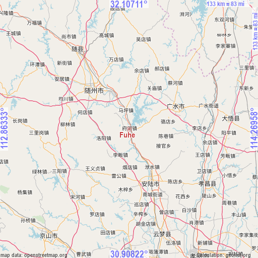
Fuhe GPS coordinates[2]
31° 30' 34.524" North, 113° 33' 59.22" East
| Map corner | latitude | longitude |
|---|---|---|
| Upper-left | 32.10711°, | 112.86333° |
| Center: | 31.50959°, | 113.56645° |
| Lower-right: | 30.90822°, | 114.26958° |
| Map W x H: | 133.3×133.3 km | = 82.8×82.8mi |
| max Lat: | 53.31946° ⇑41.5% North |
| Fuhe: | 31.50959° |
| min Lat: | ⇓58.5% South 18.22056° |
| min Long | Fuhe | max Long |
| 75.07348° | 113.56645° | 134.28917° |
| W 46.1%⇐ | ⇒53.9% E |
Elevation
Elevation of Fuhe is 69 m = 226 ft, and this is 415.8 m = 1364 ft below average elevation for this country.
| Max E: |
5622 m = 18445 ft | 65.8% |
| Avg. | 484.8 m = 1591 ft | |
| Fuhe | 69 m = 226 ft | |
Min E: |
-3 m = -10 ft | 34.2% |
See also: China elevation on elevation.city.
Geographical zone
Fuhe is located in North temperate zone (between Tropic of Cancer and the Arctic Circle). Distance of this Northern Tropic circle is 897.6 km =557.7 mi to South.| Distance of | km | miles | from Fuhe |
|---|---|---|---|
| North Pole | 6503.5 | 4041.1 | to North |
| Arctic Circle | 3897.6 | 2421.9 | to North |
| Tropic Cancer | 897.6 | 557.7 | to South |
| Equator | 3503.5 | 2177 | to South |


Nearby cities:
15 places around Fuhe: (largest is in red/bold)
• Beifan
14.6 km =9.1 mi,  196°
196°
• Changling
1.7 km =1.1 mi,  56°
56°
• Chenxiang
19.3 km =12 mi,  99°
99°
• Dayanpo
16.5 km =10.3 mi,  312°
312°
• Fushui
22.7 km =14.1 mi,  148°
148°
• Hedian
25 km =15.5 mi,  291°
291°
• Jieguan
19.7 km =12.2 mi,  115°
115°
• Leigong
24.6 km =15.3 mi,  192°
192°
• Luodian
20.6 km =12.8 mi,  78°
78°
• Luoyang
14 km =8.7 mi,  253°
253°
• Maping
10.3 km =6.4 mi,  351°
351°
• Pinglin
11.1 km =6.9 mi,  160°
160°
• Xihe
21.8 km =13.5 mi,  334°
334°
• Xinglong
23.1 km =14.4 mi,  10°
10°
• Yandian
19.4 km =12.1 mi,  179°
179°
Sources, notices
• [Note1] Compared only with cities in China existing in our database
• [Src1] Map data: © OpenStreetMap contributors (CC-BY-SA)
• [Src2] Other city data from geonames.org with taken over terms of usage.
• [Src3] Geographical zone / Annual Mean Temperature by Robert A. Rohde @ Wikipedia
