Tudi geodata
Tudi (Chongqing) is a seat of a fourth-order administrative division; located in China in Asia/Shanghai (GMT+8) time zone. In our database, there are 1268 cities with bigger population. Compared to other cities in China, 59.7% of cities are located further ↑North; 80.9% of cities are located further →East and 81.9% of cities have lower elevation than Tudi. Note1


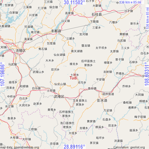
Tudi GPS coordinates[2]
29° 30' 17.784" North, 107° 53' 59.928" East
| Map corner | latitude | longitude |
|---|---|---|
| Upper-left | 30.11502°, | 107.19686° |
| Center: | 29.50494°, | 107.89998° |
| Lower-right: | 28.89116°, | 108.60311° |
| Map W x H: | 136.1×136.1 km | = 84.6×84.6mi |
| max Lat: | 53.31946° ⇑59.7% North |
| Tudi: | 29.50494° |
| min Lat: | ⇓40.3% South 18.22056° |
| min Long | Tudi | max Long |
| 75.07348° | 107.89998° | 134.28917° |
| W 19.1%⇐ | ⇒80.9% E |
Elevation
Elevation of Tudi is 787 m = 2582 ft, and this is 302.2 m = 991 ft above average elevation for this country.
| Max E: |
5622 m = 18445 ft | 18.1% |
| Tudi | 787 m 2582 ft | |
| Avg. | 484.8 m = 1591 ft | |
Min E: |
-3 m = -10 ft | 81.9% |
See also: China elevation on elevation.city.
Geographical zone
Tudi is located in North temperate zone (between Tropic of Cancer and the Arctic Circle). Distance of this Northern Tropic circle is 674.7 km =419.2 mi to South.| Distance of | km | miles | from Tudi |
|---|---|---|---|
| North Pole | 6726.4 | 4179.6 | to North |
| Arctic Circle | 4120.5 | 2560.4 | to North |
| Tropic Cancer | 674.7 | 419.2 | to South |
| Equator | 3280.6 | 2038.5 | to South |


Nearby cities:
15 places around Tudi: (largest is in red/bold)
• Canggou
9.4 km =5.8 mi,  133°
133°
• Damu
26.2 km =16.3 mi,  298°
298°
• Dudu
25.1 km =15.6 mi,  55°
55°
• Gaogu
20.1 km =12.5 mi, 127°
• Houping
16.5 km =10.3 mi,  49°
49°
• Huolu
12.6 km =7.8 mi,  192°
192°
• Jielong
10.2 km =6.3 mi,  357°
357°
• Luwu
18.7 km =11.6 mi,  109°
109°
• Nantianhu
21.9 km =13.6 mi,  5°
5°
• Ping’an
24 km =14.9 mi,  100°
100°
• Sanba
23.1 km =14.4 mi,  323°
323°
• Shuanghe
18.2 km =11.3 mi,  285°
285°
• Tongzi
7.8 km =4.8 mi,  39°
39°
• Wenfu
25.6 km =15.9 mi,  168°
168°
• Xiangkou
25 km =15.5 mi,  219°
219°
Sources, notices
• [Note1] Compared only with cities in China existing in our database
• [Src1] Map data: © OpenStreetMap contributors (CC-BY-SA)
• [Src2] Other city data from geonames.org with taken over terms of usage.
• [Src3] Geographical zone / Annual Mean Temperature by Robert A. Rohde @ Wikipedia
