Shuren geodata
Shuren (Heilongjiang) is a seat of a fourth-order administrative division; located in China in Asia/Shanghai (GMT+8) time zone. In our database, there are 1268 cities with bigger population. Compared to other cities in China, 97.2% of cities are located further ↓South; 95.8% of cities are located further ←West and 56.5% of cities have lower elevation than Shuren. Note1


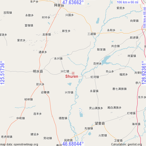
Shuren GPS coordinates[2]
47° 9' 38.448" North, 126° 13' 13.728" East
| Map corner | latitude | longitude |
|---|---|---|
| Upper-left | 47.63662°, | 125.51736° |
| Center: | 47.16068°, | 126.22048° |
| Lower-right: | 46.68044°, | 126.92361° |
| Map W x H: | 106.3×106.3 km | = 66.1×66.1mi |
| max Lat: | 53.31946° ⇑2.8% North |
| Shuren: | 47.16068° |
| min Lat: | ⇓97.2% South 18.22056° |
| min Long | Shuren | max Long |
| 75.07348° | 126.22048° | 134.28917° |
| W 95.8%⇐ | ⇒4.2% E |
Elevation
Elevation of Shuren is 221 m = 725 ft, and this is 263.8 m = 865 ft below average elevation for this country.
| Max E: |
5622 m = 18445 ft | 43.5% |
| Avg. | 484.8 m = 1591 ft | |
| Shuren | 221 m = 725 ft | |
Min E: |
-3 m = -10 ft | 56.5% |
See also: China elevation on elevation.city.
Geographical zone
Shuren is located in North temperate zone (between Tropic of Cancer and the Arctic Circle). Distance of this North polar circle is 2157.4 km =1340.5 mi to North.| Distance of | km | miles | from Shuren |
|---|---|---|---|
| North Pole | 4763.3 | 2959.8 | to North |
| Arctic Circle | 2157.4 | 1340.5 | to North |
| Tropic Cancer | 2637.9 | 1639.1 | to South |
| Equator | 5243.8 | 3258.3 | to South |


Nearby cities:
15 places around Shuren: (largest is in red/bold)
• Baixiang
18.9 km =11.7 mi,  68°
68°
• Fanrong
16 km =9.9 mi,  5°
5°
• Fengshan
26.9 km =16.7 mi,  87°
87°
• Guangrong
18.9 km =11.7 mi,  23°
23°
• Lianfa
26.8 km =16.7 mi,  49°
49°
• Lunhe
16 km =9.9 mi,  99°
99°
• Mingshui
24.3 km =15.1 mi,  275°
275°
• Shuangxing
25 km =15.5 mi,  251°
251°
• Tongquan
27 km =16.8 mi,  305°
305°
• Xinghua
14 km =8.7 mi,  192°
192°
• Xingren
6.1 km =3.8 mi, 284°
• Yingchun
24.9 km =15.5 mi,  236°
236°
• Yongfu
20 km =12.4 mi,  129°
129°
• Yongjiu
16.4 km =10.2 mi,  256°
256°
• Yongxing
15.3 km =9.5 mi,  315°
315°
Sources, notices
• [Note1] Compared only with cities in China existing in our database
• [Src1] Map data: © OpenStreetMap contributors (CC-BY-SA)
• [Src2] Other city data from geonames.org with taken over terms of usage.
• [Src3] Geographical zone / Annual Mean Temperature by Robert A. Rohde @ Wikipedia
