Tanghu geodata
Tanghu (Hubei) is a seat of a fourth-order administrative division; located in China in Asia/Shanghai (GMT+8) time zone. In our database, there are 1268 cities with bigger population. Compared to other cities in China, 63.1% of cities are located further ↑North; 51.5% of cities are located further →East and 54.8% of cities have higher elevation than Tanghu. Note1


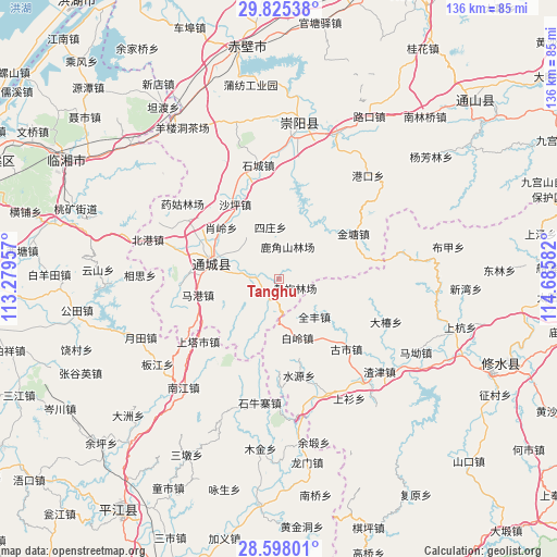
Tanghu GPS coordinates[2]
29° 12' 48.708" North, 113° 58' 57.684" East
| Map corner | latitude | longitude |
|---|---|---|
| Upper-left | 29.82538°, | 113.27957° |
| Center: | 29.21353°, | 113.98269° |
| Lower-right: | 28.59801°, | 114.68582° |
| Map W x H: | 136.5×136.5 km | = 84.8×84.8mi |
| max Lat: | 53.31946° ⇑63.1% North |
| Tanghu: | 29.21353° |
| min Lat: | ⇓36.9% South 18.22056° |
| min Long | Tanghu | max Long |
| 75.07348° | 113.98269° | 134.28917° |
| W 48.5%⇐ | ⇒51.5% E |
Elevation
Elevation of Tanghu is 133 m = 436 ft, and this is 351.8 m = 1154 ft below average elevation for this country.
| Max E: |
5622 m = 18445 ft | 54.8% |
| Avg. | 484.8 m = 1591 ft | |
| Tanghu | 133 m = 436 ft | |
Min E: |
-3 m = -10 ft | 45.2% |
See also: China elevation on elevation.city.
Geographical zone
Tanghu is located in North temperate zone (between Tropic of Cancer and the Arctic Circle). Distance of this Northern Tropic circle is 642.3 km =399.1 mi to South.| Distance of | km | miles | from Tanghu |
|---|---|---|---|
| North Pole | 6758.8 | 4199.7 | to North |
| Arctic Circle | 4152.9 | 2580.5 | to North |
| Tropic Cancer | 642.3 | 399.1 | to South |
| Equator | 3248.2 | 2018.3 | to South |


Nearby cities:
15 places around Tanghu: (largest is in red/bold)
• Bailing
15.3 km =9.5 mi,  165°
165°
• Gaojian
11 km =6.8 mi,  48°
48°
• Guandao
8 km =5 mi,  273°
273°
• Huanglong
21.2 km =13.2 mi, 166°
• Jintang
21.3 km =13.2 mi,  58°
58°
• Juanshui
13.6 km =8.5 mi,  316°
316°
• Lukou
18 km =11.2 mi,  145°
145°
• Magang
20.6 km =12.8 mi,  260°
260°
• Maishi
5.3 km =3.3 mi,  207°
207°
• Quanfeng
12.7 km =7.9 mi,  137°
137°
• Shadui
13.1 km =8.1 mi, 321°
• Shaping
21.1 km =13.1 mi,  329°
329°
• Sizhuang
12.7 km =7.9 mi,  344°
344°
• Wuli
19.5 km =12.1 mi, 272°
• Xiaoling
22.9 km =14.2 mi,  311°
311°
Sources, notices
• [Note1] Compared only with cities in China existing in our database
• [Src1] Map data: © OpenStreetMap contributors (CC-BY-SA)
• [Src2] Other city data from geonames.org with taken over terms of usage.
• [Src3] Geographical zone / Annual Mean Temperature by Robert A. Rohde @ Wikipedia
