Dongla geodata
Dongla (Tibet) is a seat of a fourth-order administrative division; located in China in Asia/Shanghai (GMT+8) time zone. In our database, there are 1268 cities with bigger population. Compared to other cities in China, 64.5% of cities are located further ↑North; 97% of cities are located further →East and 99.5% of cities have lower elevation than Dongla. Note1


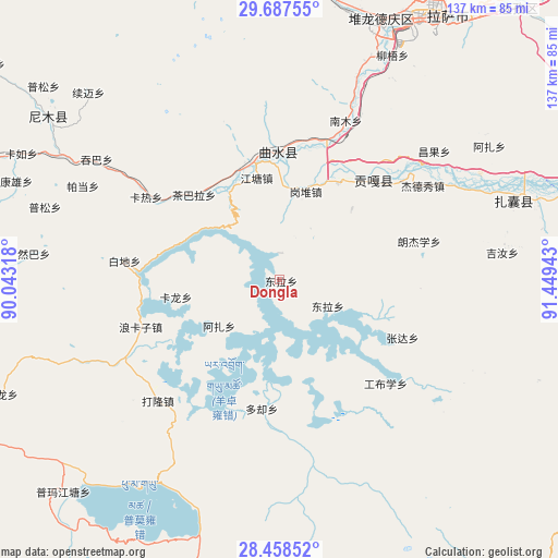
Dongla GPS coordinates[2]
29° 4' 29.532" North, 90° 44' 46.68" East
| Map corner | latitude | longitude |
|---|---|---|
| Upper-left | 29.68755°, | 90.04318° |
| Center: | 29.07487°, | 90.7463° |
| Lower-right: | 28.45852°, | 91.44943° |
| Map W x H: | 136.7×136.7 km | = 84.9×84.9mi |
| max Lat: | 53.31946° ⇑64.5% North |
| Dongla: | 29.07487° |
| min Lat: | ⇓35.5% South 18.22056° |
| min Long | Dongla | max Long |
| 75.07348° | 90.7463° | 134.28917° |
| W 3%⇐ | ⇒97% E |
Elevation
Elevation of Dongla is 4464 m = 14646 ft, and this is 3979.2 m = 13055 ft above average elevation for this country.
| Max E: |
5622 m = 18445 ft | 0.5% |
| Dongla | 4464 m 14646 ft | |
| Avg. | 484.8 m = 1591 ft | |
Min E: |
-3 m = -10 ft | 99.5% |
See also: China elevation on elevation.city.
Geographical zone
Dongla is located in North temperate zone (between Tropic of Cancer and the Arctic Circle). Distance of this Northern Tropic circle is 626.9 km =389.5 mi to South.| Distance of | km | miles | from Dongla |
|---|---|---|---|
| North Pole | 6774.2 | 4209.3 | to North |
| Arctic Circle | 4168.4 | 2590.1 | to North |
| Tropic Cancer | 626.9 | 389.5 | to South |
| Equator | 3232.8 | 2008.8 | to South |


Nearby cities:
15 places around Dongla: (largest is in red/bold)
• Caina
45.3 km =28.1 mi,  26°
26°
• Chaqi
66.6 km =41.4 mi,  72°
72°
• Dagar
29.9 km =18.6 mi,  347°
347°
• Gongbuxue
35.9 km =22.3 mi,  133°
133°
• Kangxung
68.8 km =42.8 mi,  290°
290°
• Karlung
25.6 km =15.9 mi,  260°
260°
• Karru
70.4 km =43.7 mi,  295°
295°
• Konggar
33.8 km =21 mi,  43°
43°
• Lhasa
72.6 km =45.1 mi, 28°
• Nam
47.2 km =29.3 mi,  22°
22°
• Niu
61.4 km =38.2 mi, 26°
• Partang
53.4 km =33.2 mi, 295°
• Ralung
73.6 km =45.7 mi,  247°
247°
• Ramba
60.4 km =37.5 mi,  276°
276°
• Xumai
64.1 km =39.8 mi,  313°
313°
Sources, notices
• [Note1] Compared only with cities in China existing in our database
• [Src1] Map data: © OpenStreetMap contributors (CC-BY-SA)
• [Src2] Other city data from geonames.org with taken over terms of usage.
• [Src3] Geographical zone / Annual Mean Temperature by Robert A. Rohde @ Wikipedia
