Konggar geodata
Konggar (Tibet) is a seat of a third-order administrative division; located in China in Asia/Shanghai (GMT+8) time zone. In our database, there are 1268 cities with bigger population. Compared to other cities in China, 62% of cities are located further ↑North; 96.9% of cities are located further →East and 97.8% of cities have lower elevation than Konggar. Note1


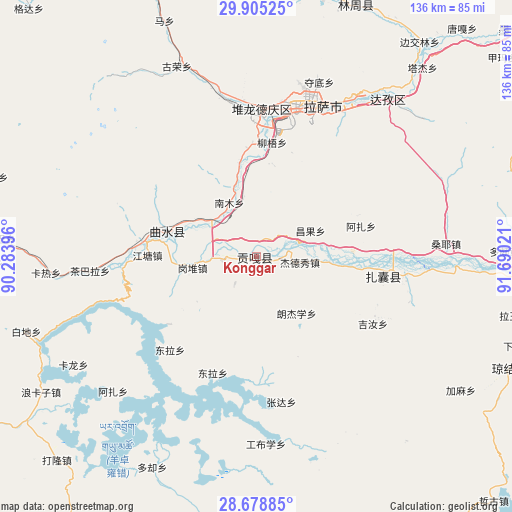
Konggar GPS coordinates[2]
29° 17' 38.004" North, 90° 59' 13.488" East
| Map corner | latitude | longitude |
|---|---|---|
| Upper-left | 29.90525°, | 90.28396° |
| Center: | 29.29389°, | 90.98708° |
| Lower-right: | 28.67885°, | 91.69021° |
| Map W x H: | 136.4×136.4 km | = 84.8×84.8mi |
| max Lat: | 53.31946° ⇑62% North |
| Konggar: | 29.29389° |
| min Lat: | ⇓38% South 18.22056° |
| min Long | Konggar | max Long |
| 75.07348° | 90.98708° | 134.28917° |
| W 3.1%⇐ | ⇒96.9% E |
Elevation
Elevation of Konggar is 3568 m = 11706 ft, and this is 3083.2 m = 10115 ft above average elevation for this country.
| Max E: |
5622 m = 18445 ft | 2.2% |
| Konggar | 3568 m 11706 ft | |
| Avg. | 484.8 m = 1591 ft | |
Min E: |
-3 m = -10 ft | 97.8% |
See also: China elevation on elevation.city.
Geographical zone
Konggar is located in North temperate zone (between Tropic of Cancer and the Arctic Circle). Distance of this Northern Tropic circle is 651.3 km =404.7 mi to South.| Distance of | km | miles | from Konggar |
|---|---|---|---|
| North Pole | 6749.9 | 4194.2 | to North |
| Arctic Circle | 4144 | 2575 | to North |
| Tropic Cancer | 651.3 | 404.7 | to South |
| Equator | 3257.2 | 2023.9 | to South |


Nearby cities:
15 places around Konggar: (largest is in red/bold)
• Caina
16.6 km =10.3 mi,  348°
348°
• Chaqi
40.5 km =25.2 mi,  96°
96°
• Dagar
30 km =18.6 mi,  279°
279°
• Dongla
33.8 km =21 mi,  223°
223°
• Dopozhang
67.7 km =42.1 mi,  87°
87°
• Gongbuxue
49.3 km =30.6 mi,  177°
177°
• Jibenggang
42.7 km =26.5 mi,  18°
18°
• Karlung
56.5 km =35.1 mi,  239°
239°
• Layu
67.2 km =41.8 mi, 104°
• Lhasa
41.1 km =25.5 mi, 15°
• Naidong
76.4 km =47.5 mi, 94°
• Nam
20.2 km =12.6 mi,  343°
343°
• Niu
30.8 km =19.1 mi,  7°
7°
• Partang
71.4 km =44.4 mi,  269°
269°
• Xumai
72.7 km =45.2 mi,  285°
285°
Sources, notices
• [Note1] Compared only with cities in China existing in our database
• [Src1] Map data: © OpenStreetMap contributors (CC-BY-SA)
• [Src2] Other city data from geonames.org with taken over terms of usage.
• [Src3] Geographical zone / Annual Mean Temperature by Robert A. Rohde @ Wikipedia
