Caina geodata
Caina (Tibet) is a seat of a fourth-order administrative division; located in China in Asia/Shanghai (GMT+8) time zone. In our database, there are 1268 cities with bigger population. Compared to other cities in China, 60.4% of cities are located further ↑North; 96.9% of cities are located further →East and 97.9% of cities have lower elevation than Caina. Note1


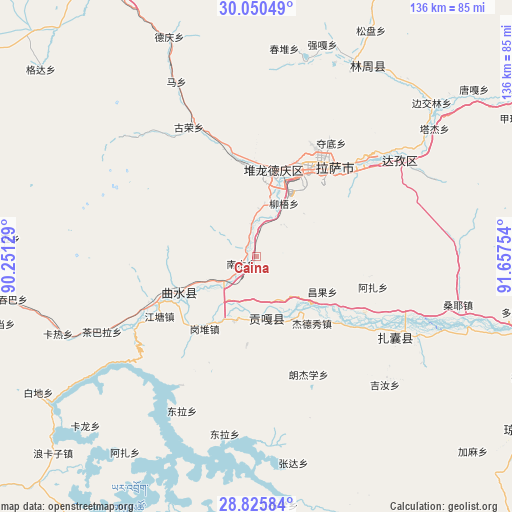
Caina GPS coordinates[2]
29° 26' 24.036" North, 90° 57' 15.876" East
| Map corner | latitude | longitude |
|---|---|---|
| Upper-left | 30.05049°, | 90.25129° |
| Center: | 29.44001°, | 90.95441° |
| Lower-right: | 28.82584°, | 91.65754° |
| Map W x H: | 136.2×136.2 km | = 84.6×84.6mi |
| max Lat: | 53.31946° ⇑60.4% North |
| Caina: | 29.44001° |
| min Lat: | ⇓39.6% South 18.22056° |
| min Long | Caina | max Long |
| 75.07348° | 90.95441° | 134.28917° |
| W 3.1%⇐ | ⇒96.9% E |
Elevation
Elevation of Caina is 3609 m = 11841 ft, and this is 3124.2 m = 10250 ft above average elevation for this country.
| Max E: |
5622 m = 18445 ft | 2.1% |
| Caina | 3609 m 11841 ft | |
| Avg. | 484.8 m = 1591 ft | |
Min E: |
-3 m = -10 ft | 97.9% |
See also: China elevation on elevation.city.
Geographical zone
Caina is located in North temperate zone (between Tropic of Cancer and the Arctic Circle). Distance of this Northern Tropic circle is 667.5 km =414.8 mi to South.| Distance of | km | miles | from Caina |
|---|---|---|---|
| North Pole | 6733.6 | 4184.1 | to North |
| Arctic Circle | 4127.8 | 2564.9 | to North |
| Tropic Cancer | 667.5 | 414.8 | to South |
| Equator | 3273.4 | 2034 | to South |


Nearby cities:
15 places around Caina: (largest is in red/bold)
• Chaqi
48.2 km =30 mi,  115°
115°
• Dagar
28.8 km =17.9 mi,  246°
246°
• Dongla
45.3 km =28.1 mi,  206°
206°
• Dopozhang
72.1 km =44.8 mi,  100°
100°
• Dêqên
62.3 km =38.7 mi,  338°
338°
• Gongbuxue
65.8 km =40.9 mi,  175°
175°
• Jibenggang
29.5 km =18.3 mi,  34°
34°
• Karlung
63.9 km =39.7 mi,  225°
225°
• Konggar
16.6 km =10.3 mi,  168°
168°
• Layu
75.7 km =47 mi, 115°
• Lhasa
27.3 km =17 mi, 31°
• Nam
3.9 km =2.4 mi,  322°
322°
• Niu
16 km =9.9 mi, 27°
• Partang
70.3 km =43.7 mi,  255°
255°
• Xumai
66.9 km =41.6 mi,  272°
272°
Sources, notices
• [Note1] Compared only with cities in China existing in our database
• [Src1] Map data: © OpenStreetMap contributors (CC-BY-SA)
• [Src2] Other city data from geonames.org with taken over terms of usage.
• [Src3] Geographical zone / Annual Mean Temperature by Robert A. Rohde @ Wikipedia
