Zongjia geodata
Zongjia (Qinghai) is a seat of a fourth-order administrative division; located in China in Asia/Shanghai (GMT+8) time zone. In our database, there are 1268 cities with bigger population. Compared to other cities in China, 77.7% of cities are located further ↓South; 95.7% of cities are located further →East and 96.4% of cities have lower elevation than Zongjia. Note1


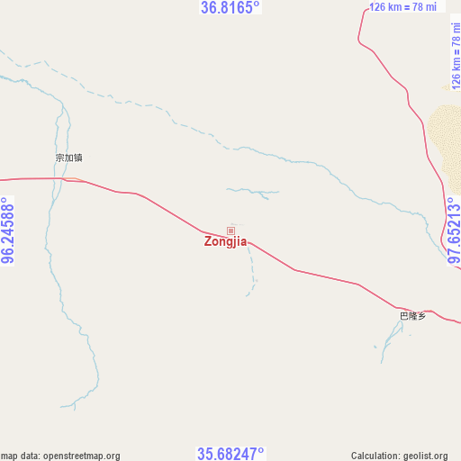
Zongjia GPS coordinates[2]
36° 15' 5.544" North, 96° 56' 56.4" East
| Map corner | latitude | longitude |
|---|---|---|
| Upper-left | 36.8165°, | 96.24588° |
| Center: | 36.25154°, | 96.949° |
| Lower-right: | 35.68247°, | 97.65213° |
| Map W x H: | 126.1×126.1 km | = 78.4×78.4mi |
| max Lat: | 53.31946° ⇑22.3% North |
| Zongjia: | 36.25154° |
| min Lat: | ⇓77.7% South 18.22056° |
| min Long | Zongjia | max Long |
| 75.07348° | 96.949° | 134.28917° |
| W 4.3%⇐ | ⇒95.7% E |
Elevation
Elevation of Zongjia is 2798 m = 9180 ft, and this is 2313.2 m = 7589 ft above average elevation for this country.
| Max E: |
5622 m = 18445 ft | 3.6% |
| Zongjia | 2798 m 9180 ft | |
| Avg. | 484.8 m = 1591 ft | |
Min E: |
-3 m = -10 ft | 96.4% |
See also: China elevation on elevation.city.
Geographical zone
Zongjia is located in North temperate zone (between Tropic of Cancer and the Arctic Circle). Distance of this Northern Tropic circle is 1424.9 km =885.4 mi to South.| Distance of | km | miles | from Zongjia |
|---|---|---|---|
| North Pole | 5976.3 | 3713.5 | to North |
| Arctic Circle | 3370.4 | 2094.3 | to North |
| Tropic Cancer | 1424.9 | 885.4 | to South |
| Equator | 4030.8 | 2504.6 | to South |


Nearby cities:
15 places around Zongjia: (largest is in red/bold)
• Barun
55.2 km =34.3 mi,  130°
130°
• Dagur
110.4 km =68.6 mi,  279°
279°
• Delingha
130.6 km =81.2 mi,  16°
16°
• Hoit Taria
123.6 km =76.8 mi,  351°
351°
• Keluke
120.1 km =74.6 mi,  7°
7°
• Kugri
147.1 km =91.4 mi,  116°
116°
• Madoi
146 km =90.7 mi,  200°
200°
• Nomhon
50.2 km =31.2 mi,  285°
285°
• Qagan Us
96.6 km =60 mi,  80°
80°
• Reshui
109.4 km =68 mi,  91°
91°
• Xarag
111.8 km =69.5 mi, 81°
• Xiangjia
94.7 km =58.8 mi,  111°
111°
• Xiangride
89 km =55.3 mi, 108°
• Xuji
145.2 km =90.2 mi,  32°
32°
• Zongwulong
130.9 km =81.3 mi, 15°
Sources, notices
• [Note1] Compared only with cities in China existing in our database
• [Src1] Map data: © OpenStreetMap contributors (CC-BY-SA)
• [Src2] Other city data from geonames.org with taken over terms of usage.
• [Src3] Geographical zone / Annual Mean Temperature by Robert A. Rohde @ Wikipedia
