Xuji geodata
Xuji (Qinghai) is a seat of a fourth-order administrative division; located in China in Asia/Shanghai (GMT+8) time zone. In our database, there are 1268 cities with bigger population. Compared to other cities in China, 79.9% of cities are located further ↓South; 95.5% of cities are located further →East and 97.2% of cities have lower elevation than Xuji. Note1


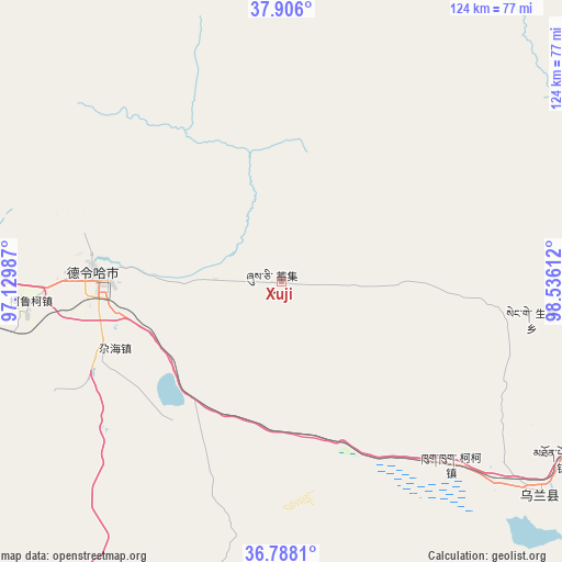
Xuji GPS coordinates[2]
37° 20' 56.868" North, 97° 49' 58.764" East
| Map corner | latitude | longitude |
|---|---|---|
| Upper-left | 37.906°, | 97.12987° |
| Center: | 37.34913°, | 97.83299° |
| Lower-right: | 36.7881°, | 98.53612° |
| Map W x H: | 124.3×124.3 km | = 77.2×77.2mi |
| max Lat: | 53.31946° ⇑20.1% North |
| Xuji: | 37.34913° |
| min Lat: | ⇓79.9% South 18.22056° |
| min Long | Xuji | max Long |
| 75.07348° | 97.83299° | 134.28917° |
| W 4.5%⇐ | ⇒95.5% E |
Elevation
Elevation of Xuji is 3181 m = 10436 ft, and this is 2696.2 m = 8846 ft above average elevation for this country.
| Max E: |
5622 m = 18445 ft | 2.8% |
| Xuji | 3181 m 10436 ft | |
| Avg. | 484.8 m = 1591 ft | |
Min E: |
-3 m = -10 ft | 97.2% |
See also: China elevation on elevation.city.
Geographical zone
Xuji is located in North temperate zone (between Tropic of Cancer and the Arctic Circle). Distance of this Northern Tropic circle is 1546.9 km =961.2 mi to South.| Distance of | km | miles | from Xuji |
|---|---|---|---|
| North Pole | 5854.2 | 3637.6 | to North |
| Arctic Circle | 3248.3 | 2018.4 | to North |
| Tropic Cancer | 1546.9 | 961.2 | to South |
| Equator | 4152.8 | 2580.4 | to South |


Nearby cities:
15 places around Xuji: (largest is in red/bold)
• Chaka
126.3 km =78.5 mi,  119°
119°
• Delingha
40.6 km =25.2 mi,  274°
274°
• Hoit Taria
95.7 km =59.5 mi, 270°
• Karmar
88.7 km =55.1 mi,  89°
89°
• Keluke
61.8 km =38.4 mi, 267°
• Longmen
112.6 km =70 mi,  58°
58°
• Qagan Us
107 km =66.5 mi,  171°
171°
• Reshui
129 km =80.2 mi, 166°
• Serh
65.5 km =40.7 mi,  132°
132°
• Tongpu
71.7 km =44.6 mi, 124°
• Xarag
110 km =68.4 mi,  163°
163°
• Xinyuan
103.3 km =64.2 mi, 93°
• Xireg
72.3 km =44.9 mi, 131°
• Yangkang
89 km =55.3 mi,  65°
65°
• Zongwulong
42.9 km =26.7 mi,  275°
275°
Sources, notices
• [Note1] Compared only with cities in China existing in our database
• [Src1] Map data: © OpenStreetMap contributors (CC-BY-SA)
• [Src2] Other city data from geonames.org with taken over terms of usage.
• [Src3] Geographical zone / Annual Mean Temperature by Robert A. Rohde @ Wikipedia
