Waxxari geodata
Waxxari (Xinjiang) is a seat of a fourth-order administrative division; located in China in Asia/Urumqi (GMT+6) time zone. In our database, there are 1268 cities with bigger population. Compared to other cities in China, 82.1% of cities are located further ↓South; 98.1% of cities are located further →East and 85.1% of cities have lower elevation than Waxxari. Note1


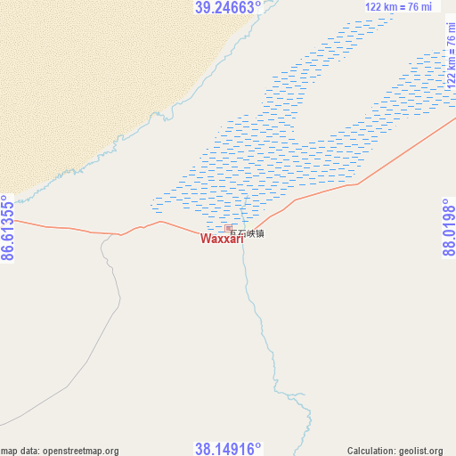
Waxxari GPS coordinates[2]
38° 42' 0" North, 87° 19' 0.012" East
| Map corner | latitude | longitude |
|---|---|---|
| Upper-left | 39.24663°, | 86.61355° |
| Center: | 38.7°, | 87.31667° |
| Lower-right: | 38.14916°, | 88.0198° |
| Map W x H: | 122×122 km | = 75.8×75.8mi |
| max Lat: | 53.31946° ⇑17.9% North |
| Waxxari: | 38.7° |
| min Lat: | ⇓82.1% South 18.22056° |
| min Long | Waxxari | max Long |
| 75.07348° | 87.31667° | 134.28917° |
| W 1.9%⇐ | ⇒98.1% E |
Elevation
Elevation of Waxxari is 990 m = 3248 ft, and this is 505.2 m = 1657 ft above average elevation for this country.
| Max E: |
5622 m = 18445 ft | 14.9% |
| Waxxari | 990 m 3248 ft | |
| Avg. | 484.8 m = 1591 ft | |
Min E: |
-3 m = -10 ft | 85.1% |
See also: China elevation on elevation.city.
Geographical zone
Waxxari is located in North temperate zone (between Tropic of Cancer and the Arctic Circle). Distance of this Northern Tropic circle is 1697.1 km =1054.5 mi to South.| Distance of | km | miles | from Waxxari |
|---|---|---|---|
| North Pole | 5704 | 3544.3 | to North |
| Arctic Circle | 3098.1 | 1925.1 | to North |
| Tropic Cancer | 1697.1 | 1054.5 | to South |
| Equator | 4303 | 2673.8 | to South |


Nearby cities:
15 places around Waxxari: (largest is in red/bold)
• Bohu
369.9 km =229.8 mi,  350°
350°
• Gasi
318.6 km =198 mi,  101°
101°
• Hejing
409.8 km =254.6 mi, 348°
• Hoxut
397.6 km =247.1 mi, 354°
• Korla
354.4 km =220.2 mi,  343°
343°
• Qiemo
167.9 km =104.3 mi,  247°
247°
• Qilanbulak
249.5 km =155 mi, 98°
• Qimantage
307 km =190.8 mi,  120°
120°
• Ruoqiang
81.6 km =50.7 mi,  64°
64°
• Sishilichengzi
369.6 km =229.7 mi, 348°
• Tatrang
148.6 km =92.3 mi,  259°
259°
• Tieganlike
84 km =52.2 mi, 64°
• Tomorlog
265.4 km =164.9 mi, 100°
• Yanqi
379.2 km =235.6 mi, 350°
• Yuli
306.7 km =190.6 mi, 342°
Sources, notices
• [Note1] Compared only with cities in China existing in our database
• [Src1] Map data: © OpenStreetMap contributors (CC-BY-SA)
• [Src2] Other city data from geonames.org with taken over terms of usage.
• [Src3] Geographical zone / Annual Mean Temperature by Robert A. Rohde @ Wikipedia
