Sajia geodata
Sajia (Tibet) is a seat of a third-order administrative division; located in China in Asia/Shanghai (GMT+8) time zone. In our database, there are 1268 cities with bigger population. Compared to other cities in China, 66.2% of cities are located further ↑North; 97.9% of cities are located further →East and 99.8% of cities have lower elevation than Sajia. Note1


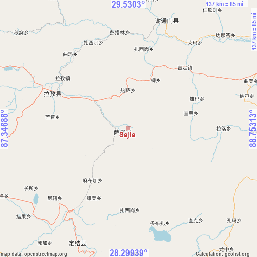
Sajia GPS coordinates[2]
28° 55' 0.012" North, 88° 3' 0" East
| Map corner | latitude | longitude |
|---|---|---|
| Upper-left | 29.5303°, | 87.34688° |
| Center: | 28.91667°, | 88.05° |
| Lower-right: | 28.29939°, | 88.75313° |
| Map W x H: | 136.9×136.9 km | = 85.1×85.1mi |
| max Lat: | 53.31946° ⇑66.2% North |
| Sajia: | 28.91667° |
| min Lat: | ⇓33.8% South 18.22056° |
| min Long | Sajia | max Long |
| 75.07348° | 88.05° | 134.28917° |
| W 2.1%⇐ | ⇒97.9% E |
Elevation
Elevation of Sajia is 4643 m = 15233 ft, and this is 4158.2 m = 13642 ft above average elevation for this country.
| Max E: |
5622 m = 18445 ft | 0.2% |
| Sajia | 4643 m 15233 ft | |
| Avg. | 484.8 m = 1591 ft | |
Min E: |
-3 m = -10 ft | 99.8% |
See also: China elevation on elevation.city.
Geographical zone
Sajia is located in North temperate zone (between Tropic of Cancer and the Arctic Circle). Distance of this Northern Tropic circle is 609.3 km =378.6 mi to South.| Distance of | km | miles | from Sajia |
|---|---|---|---|
| North Pole | 6791.8 | 4220.2 | to North |
| Arctic Circle | 4185.9 | 2601 | to North |
| Tropic Cancer | 609.3 | 378.6 | to South |
| Equator | 3215.2 | 1997.8 | to South |


Nearby cities:
15 places around Sajia: (largest is in red/bold)
• Bazha
110.1 km =68.4 mi,  74°
74°
• Bianxiong
107 km =66.5 mi, 65°
• Dongxi
108.4 km =67.4 mi,  105°
105°
• Gadong
114.5 km =71.1 mi, 73°
• Gangba
88.2 km =54.8 mi,  151°
151°
• Gapu
107.5 km =66.8 mi,  99°
99°
• Gyangkar
62.4 km =38.8 mi,  203°
203°
• Jiding
53.7 km =33.4 mi,  21°
21°
• Kambaxoi
83.2 km =51.7 mi, 145°
• Ma Xiang
103 km =64 mi,  85°
85°
• Ngamring
92.8 km =57.7 mi,  292°
292°
• Quxar
43.9 km =27.3 mi,  297°
297°
• Rikaze
89.1 km =55.4 mi, 65°
• Wangdain
107.6 km =66.9 mi, 92°
• Xêgar
99.3 km =61.7 mi,  251°
251°
Sources, notices
• [Note1] Compared only with cities in China existing in our database
• [Src1] Map data: © OpenStreetMap contributors (CC-BY-SA)
• [Src2] Other city data from geonames.org with taken over terms of usage.
• [Src3] Geographical zone / Annual Mean Temperature by Robert A. Rohde @ Wikipedia
