Lunang geodata
Lunang (Tibet) is a seat of a fourth-order administrative division; located in China in Asia/Shanghai (GMT+8) time zone. In our database, there are 1268 cities with bigger population. Compared to other cities in China, 57% of cities are located further ↑North; 96.2% of cities are located further →East and 97.6% of cities have lower elevation than Lunang. Note1


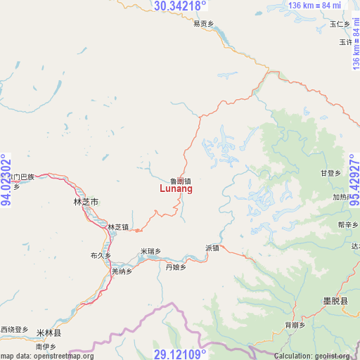
Lunang GPS coordinates[2]
29° 44' 0.564" North, 94° 43' 34.104" East
| Map corner | latitude | longitude |
|---|---|---|
| Upper-left | 30.34218°, | 94.02302° |
| Center: | 29.73349°, | 94.72614° |
| Lower-right: | 29.12109°, | 95.42927° |
| Map W x H: | 135.8×135.8 km | = 84.4×84.4mi |
| max Lat: | 53.31946° ⇑57% North |
| Lunang: | 29.73349° |
| min Lat: | ⇓43% South 18.22056° |
| min Long | Lunang | max Long |
| 75.07348° | 94.72614° | 134.28917° |
| W 3.8%⇐ | ⇒96.2% E |
Elevation
Elevation of Lunang is 3391 m = 11125 ft, and this is 2906.2 m = 9535 ft above average elevation for this country.
| Max E: |
5622 m = 18445 ft | 2.4% |
| Lunang | 3391 m 11125 ft | |
| Avg. | 484.8 m = 1591 ft | |
Min E: |
-3 m = -10 ft | 97.6% |
See also: China elevation on elevation.city.
Geographical zone
Lunang is located in North temperate zone (between Tropic of Cancer and the Arctic Circle). Distance of this Northern Tropic circle is 700.1 km =435 mi to South.| Distance of | km | miles | from Lunang |
|---|---|---|---|
| North Pole | 6701 | 4163.8 | to North |
| Arctic Circle | 4095.1 | 2544.6 | to North |
| Tropic Cancer | 700.1 | 435 | to South |
| Equator | 3306.1 | 2054.3 | to South |


Nearby cities:
15 places around Lunang: (largest is in red/bold)
• Baiba
84.6 km =52.6 mi,  274°
274°
• Bayi
36.4 km =22.6 mi,  256°
256°
• Damnyain
32.1 km =19.9 mi,  183°
183°
• Gengzhang
61.2 km =38 mi, 269°
• Mainling
75.9 km =47.2 mi,  220°
220°
• Mainri
28.4 km =17.6 mi,  202°
202°
• Motuo
73.1 km =45.4 mi,  129°
129°
• Nailung
107.9 km =67 mi,  230°
230°
• Nanyi
80.3 km =49.9 mi, 220°
• Paicun
27.7 km =17.2 mi,  154°
154°
• Puqu
41.9 km =26 mi, 225°
• Tungdor
86 km =53.4 mi, 226°
• Yinla
29.2 km =18.1 mi, 233°
• Zhamog
100.8 km =62.6 mi,  81°
81°
• Zhaxirabdain
85.1 km =52.9 mi, 228°
Sources, notices
• [Note1] Compared only with cities in China existing in our database
• [Src1] Map data: © OpenStreetMap contributors (CC-BY-SA)
• [Src2] Other city data from geonames.org with taken over terms of usage.
• [Src3] Geographical zone / Annual Mean Temperature by Robert A. Rohde @ Wikipedia
