Curumaní geodata
Curumaní (Cesar) is a seat of a second-order administrative division; located in Colombia in America/Bogota (GMT-5) time zone. With population of 22,084 people, there are 165 cities with bigger population in this country. Compared to other cities in Colombia, 88.1% of cities are located further ↓South; 74.3% of cities are located further ←West and 85.1% of cities have higher elevation than Curumaní. Note1


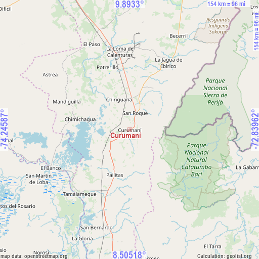
Curumaní GPS coordinates[2]
9° 11' 59.712" North, 73° 32' 33.864" West
| Map corner | latitude | longitude |
|---|---|---|
| Upper-left | 9.8933°, | -74.24587° |
| Center: | 9.19992°, | -73.54274° |
| Lower-right: | 8.50518°, | -72.83962° |
| Map W x H: | 154.3×154.3 km | = 95.9×95.9mi |
| max Lat: | 13.38166° ⇑11.9% North |
| Curumaní: | 9.19992° |
| min Lat: | ⇓88.1% South -4.21528° |
| min Long | Curumaní | max Long |
| -81.70636° | -73.54274° | -67.06996° |
| W 74.3%⇐ | ⇒25.7% E |
Elevation
Elevation of Curumaní is 59 m = 194 ft, and this is 1090.3 m = 3577 ft below average elevation for this country.
| Max E: |
3342 m = 10965 ft | 85.1% |
| Avg. | 1149.3 m = 3771 ft | |
| Curumaní | 59 m = 194 ft | |
Min E: |
1 m = 3 ft | 14.9% |
See also: Colombia elevation on elevation.city.
Geographical zone
Curumaní is located in North Torrid zone (between Equator and Tropic of Cancer). Distance of Equator is 1022.9 km =635.6 mi to South.| Distance of | km | miles | from Curumaní |
|---|---|---|---|
| North Pole | 8984.1 | 5582.5 | to North |
| Arctic Circle | 6378.2 | 3963.2 | to North |
| Tropic Cancer | 1583 | 983.6 | to North |
| Equator | 1022.9 | 635.6 | to South |


Nearby cities:
15 places around Curumaní: (largest is in red/bold)
• Astrea
58 km =36 mi,  304°
304°
• Barranco de Loba
68 km =42.3 mi,  245°
245°
• Becerril
63.1 km =39.2 mi,  27°
27°
• Chimichagua
30.3 km =18.8 mi,  282°
282°
• Chiriguaná
19.2 km =11.9 mi,  339°
339°
• El Banco
52.4 km =32.6 mi, 245°
• El Paso
55.6 km =34.5 mi, 336°
• El Peñón
50.3 km =31.3 mi,  241°
241°
• Hatillo de Loba
64.7 km =40.2 mi, 245°
• La Jagua de Ibirico
46.3 km =28.8 mi, 29°
• Pailitas
28.5 km =17.7 mi,  198°
198°
• Pelaya
58.4 km =36.3 mi,  193°
193°
• Regidor
66.8 km =41.5 mi,  207°
207°
• San Martín de Loba
62 km =38.5 mi, 241°
• Tamalameque
48.7 km =30.3 mi,  217°
217°
Sources, notices
• [Note1] Compared only with cities in Colombia existing in our database
• [Src1] Map data: © OpenStreetMap contributors (CC-BY-SA)
• [Src2] Other city data from geonames.org with taken over terms of usage.
• [Src3] Geographical zone / Annual Mean Temperature by Robert A. Rohde @ Wikipedia
