Wettringen geodata
Wettringen (North Rhine-Westphalia) is a seat of a fourth-order administrative division; located in Germany in Europe/Berlin (GMT+2) time zone. With population of 7,897 people, there are 1971 cities with bigger population in this country. Compared to other cities in Germany, 74.2% of cities are located further ↓South; 89.6% of cities are located further →East and 79.2% of cities have higher elevation than Wettringen. Note1
Administrative division(s):
- Level 1: North Rhine-Westphalia
- Level 2: Regierungsbezirk Münster
- Level 3: Kreis Steinfurt
- Level 4: Wettringen


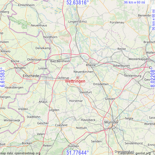
Wettringen GPS coordinates[2]
52° 12' 33.804" North, 7° 19' 8.22" East
| Map corner | latitude | longitude |
|---|---|---|
| Upper-left | 52.63816°, | 6.61583° |
| Center: | 52.20939°, | 7.31895° |
| Lower-right: | 51.77644°, | 8.02208° |
| Map W x H: | 95.8×95.8 km | = 59.5×59.5mi |
| max Lat: | 55.01917° ⇑25.8% North |
| Wettringen: | 52.20939° |
| min Lat: | ⇓74.2% South 47.40724° |
| min Long | Wettringen | max Long |
| 5.92978° | 7.31895° | 14.98853° |
| W 10.4%⇐ | ⇒89.6% E |
Elevation
Elevation of Wettringen is 49 m = 161 ft, and this is 200.1 m = 656 ft below average elevation for this country.
| Max E: |
1256 m = 4121 ft | 79.2% |
| Avg. | 249.1 m = 817 ft | |
| Wettringen | 49 m = 161 ft | |
Min E: |
-5 m = -16 ft | 20.8% |
See also: Germany elevation on elevation.city.
Geographical zone
Wettringen is located in North temperate zone (between Tropic of Cancer and the Arctic Circle). Distance of this North polar circle is 1596 km =991.7 mi to North.| Distance of | km | miles | from Wettringen |
|---|---|---|---|
| North Pole | 4201.9 | 2610.9 | to North |
| Arctic Circle | 1596 | 991.7 | to North |
| Tropic Cancer | 3199.2 | 1987.9 | to South |
| Equator | 5805.1 | 3607.1 | to South |


Nearby cities:
15 places around Wettringen: (largest is in red/bold)
• Bad Bentheim
15 km =9.3 mi,  312°
312°
• Emsdetten
14.8 km =9.2 mi,  105°
105°
• Horstmar
14.3 km =8.9 mi,  183°
183°
• Metelen
10.2 km =6.3 mi,  225°
225°
• Neuenkirchen
5.3 km =3.3 mi,  42°
42°
• Ochtrup
8.8 km =5.5 mi,  269°
269°
• Ohne
6.8 km =4.2 mi,  339°
339°
• Quendorf
16.6 km =10.3 mi,  326°
326°
• Rheine
11.8 km =7.3 mi, 44°
• Salzbergen
13.9 km =8.6 mi,  8°
8°
• Samern
10.6 km =6.6 mi, 339°
• Schöppingen
13.5 km =8.4 mi,  205°
205°
• Schüttorf
14.2 km =8.8 mi, 332°
• Steinfurt
6.7 km =4.2 mi,  169°
169°
• Suddendorf
12 km =7.5 mi, 328°
Sources, notices
• [Note1] Compared only with cities in Germany existing in our database
• [Src1] Map data: © OpenStreetMap contributors (CC-BY-SA)
• [Src2] Other city data from geonames.org with taken over terms of usage.
• [Src3] Geographical zone / Annual Mean Temperature by Robert A. Rohde @ Wikipedia
