Welzheim geodata
Welzheim (Baden-Württemberg) is a populated place; located in Germany in Europe/Berlin (GMT+2) time zone. With population of 11,306 people, there are 1460 cities with bigger population in this country. Compared to other cities in Germany, 84.4% of cities are located further ↑North; 55.6% of cities are located further →East and 89.5% of cities have lower elevation than Welzheim. Note1
Administrative division(s):
- Level 1: Baden-Württemberg
- Level 2: Regierungsbezirk Stuttgart
- Level 3: Rems-Murr-Kreis
- Level 4: Welzheim


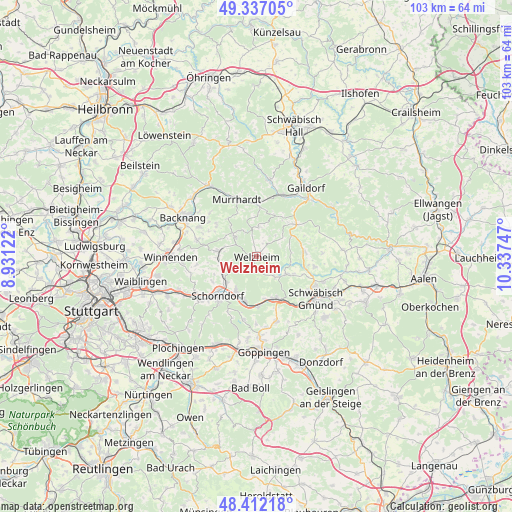
Welzheim GPS coordinates[2]
48° 52' 36.3" North, 9° 38' 3.624" East
| Map corner | latitude | longitude |
|---|---|---|
| Upper-left | 49.33705°, | 8.93122° |
| Center: | 48.87675°, | 9.63434° |
| Lower-right: | 48.41218°, | 10.33747° |
| Map W x H: | 102.8×102.8 km | = 63.9×63.9mi |
| max Lat: | 55.01917° ⇑84.4% North |
| Welzheim: | 48.87675° |
| min Lat: | ⇓15.6% South 47.40724° |
| min Long | Welzheim | max Long |
| 5.92978° | 9.63434° | 14.98853° |
| W 44.4%⇐ | ⇒55.6% E |
Elevation
Elevation of Welzheim is 508 m = 1667 ft, and this is 258.9 m = 849 ft above average elevation for this country.
| Max E: |
1256 m = 4121 ft | 10.5% |
| Welzheim | 508 m 1667 ft | |
| Avg. | 249.1 m = 817 ft | |
Min E: |
-5 m = -16 ft | 89.5% |
See also: Germany elevation on elevation.city.
Geographical zone
Welzheim is located in North temperate zone (between Tropic of Cancer and the Arctic Circle). Distance of this North polar circle is 1966.6 km =1222 mi to North.| Distance of | km | miles | from Welzheim |
|---|---|---|---|
| North Pole | 4572.5 | 2841.2 | to North |
| Arctic Circle | 1966.6 | 1222 | to North |
| Tropic Cancer | 2828.7 | 1757.7 | to South |
| Equator | 5434.6 | 3376.9 | to South |


Nearby cities:
15 places around Welzheim: (largest is in red/bold)
• Adelberg
13 km =8.1 mi,  191°
191°
• Alfdorf
7.2 km =4.5 mi,  120°
120°
• Allmersbach im Tal
12.6 km =7.8 mi,  285°
285°
• Althütte
6.4 km =4 mi,  312°
312°
• Durlangen
12.1 km =7.5 mi,  100°
100°
• Gschwend
10.2 km =6.3 mi,  51°
51°
• Kaisersbach
6 km =3.7 mi,  3°
3°
• Lorch
9.7 km =6 mi,  154°
154°
• Murrhardt
12.6 km =7.8 mi,  338°
338°
• Plüderhausen
9.1 km =5.7 mi,  197°
197°
• Rudersberg
7.7 km =4.8 mi,  276°
276°
• Ruppertshofen
13.2 km =8.2 mi,  87°
87°
• Schorndorf
11.2 km =7 mi,  224°
224°
• Spraitbach
9.4 km =5.8 mi, 87°
• Urbach
7.9 km =4.9 mi,  212°
212°
Sources, notices
• [Note1] Compared only with cities in Germany existing in our database
• [Src1] Map data: © OpenStreetMap contributors (CC-BY-SA)
• [Src2] Other city data from geonames.org with taken over terms of usage.
• [Src3] Geographical zone / Annual Mean Temperature by Robert A. Rohde @ Wikipedia
