Trohe geodata
Trohe (Hesse) is a populated place; located in Germany in Europe/Berlin (GMT+2) time zone. With population of 771 people, there are 8014 cities with bigger population in this country. Compared to other cities in Germany, 50.2% of cities are located further ↑North; 68.5% of cities are located further →East and 57% of cities have higher elevation than Trohe. Note1
Administrative division(s):
- Level 1: Hesse
- Level 2: Regierungsbezirk Gießen
- Level 3: Landkreis Gießen
- Level 4: Buseck


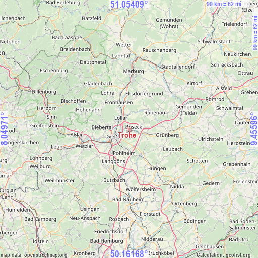
Trohe GPS coordinates[2]
50° 36' 36" North, 8° 45' 10.224" East
| Map corner | latitude | longitude |
|---|---|---|
| Upper-left | 51.05409°, | 8.04971° |
| Center: | 50.61°, | 8.75284° |
| Lower-right: | 50.16168°, | 9.45596° |
| Map W x H: | 99.2×99.2 km | = 61.6×61.6mi |
| max Lat: | 55.01917° ⇑50.2% North |
| Trohe: | 50.61° |
| min Lat: | ⇓49.8% South 47.40724° |
| min Long | Trohe | max Long |
| 5.92978° | 8.75284° | 14.98853° |
| W 31.5%⇐ | ⇒68.5% E |
Elevation
Elevation of Trohe is 175 m = 574 ft, and this is 74.1 m = 243 ft below average elevation for this country.
| Max E: |
1256 m = 4121 ft | 57% |
| Avg. | 249.1 m = 817 ft | |
| Trohe | 175 m = 574 ft | |
Min E: |
-5 m = -16 ft | 43% |
See also: Germany elevation on elevation.city.
Geographical zone
Trohe is located in North temperate zone (between Tropic of Cancer and the Arctic Circle). Distance of this North polar circle is 1773.9 km =1102.3 mi to North.| Distance of | km | miles | from Trohe |
|---|---|---|---|
| North Pole | 4379.8 | 2721.5 | to North |
| Arctic Circle | 1773.9 | 1102.3 | to North |
| Tropic Cancer | 3021.4 | 1877.4 | to South |
| Equator | 5627.3 | 3496.6 | to South |


Nearby cities:
15 places around Trohe: (largest is in red/bold)
• Allendorf an der Lahn
11.4 km =7.1 mi,  235°
235°
• Alten Buseck
1.4 km =0.9 mi,  1°
1°
• Beuern
5.2 km =3.2 mi,  68°
68°
• Fronhausen
10.7 km =6.6 mi,  339°
339°
• Gießen
6 km =3.7 mi,  245°
245°
• Großen Buseck
2.4 km =1.5 mi,  102°
102°
• Grünberg
14.6 km =9.1 mi, 96°
• Heuchelheim
8.9 km =5.5 mi, 250°
• Hörnsheim
13.4 km =8.3 mi,  220°
220°
• Langgöns
13.7 km =8.5 mi,  206°
206°
• Lich
10.9 km =6.8 mi,  155°
155°
• Lollar
5.3 km =3.3 mi,  320°
320°
• Rabenau
10.9 km =6.8 mi,  46°
46°
• Reiskirchen
5.8 km =3.6 mi, 101°
• Staufenberg
6 km =3.7 mi,  345°
345°
Sources, notices
• [Note1] Compared only with cities in Germany existing in our database
• [Src1] Map data: © OpenStreetMap contributors (CC-BY-SA)
• [Src2] Other city data from geonames.org with taken over terms of usage.
• [Src3] Geographical zone / Annual Mean Temperature by Robert A. Rohde @ Wikipedia
