Sassenberg geodata
Sassenberg (North Rhine-Westphalia) is a populated place; located in Germany in Europe/Berlin (GMT+2) time zone. With population of 14,273 people, there are 1111 cities with bigger population in this country. Compared to other cities in Germany, 72.1% of cities are located further ↓South; 76.4% of cities are located further →East and 75.5% of cities have higher elevation than Sassenberg. Note1
Administrative division(s):
- Level 1: North Rhine-Westphalia
- Level 2: Regierungsbezirk Münster
- Level 3: Kreis Warendorf
- Level 4: Sassenberg


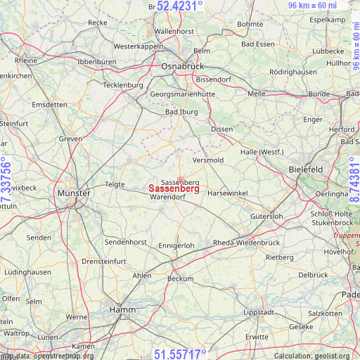
Sassenberg GPS coordinates[2]
51° 59' 32.028" North, 8° 2' 26.448" East
| Map corner | latitude | longitude |
|---|---|---|
| Upper-left | 52.4231°, | 7.33756° |
| Center: | 51.99223°, | 8.04068° |
| Lower-right: | 51.55717°, | 8.74381° |
| Map W x H: | 96.3×96.3 km | = 59.8×59.8mi |
| max Lat: | 55.01917° ⇑27.9% North |
| Sassenberg: | 51.99223° |
| min Lat: | ⇓72.1% South 47.40724° |
| min Long | Sassenberg | max Long |
| 5.92978° | 8.04068° | 14.98853° |
| W 23.6%⇐ | ⇒76.4% E |
Elevation
Elevation of Sassenberg is 61 m = 200 ft, and this is 188.1 m = 617 ft below average elevation for this country.
| Max E: |
1256 m = 4121 ft | 75.5% |
| Avg. | 249.1 m = 817 ft | |
| Sassenberg | 61 m = 200 ft | |
Min E: |
-5 m = -16 ft | 24.5% |
See also: Germany elevation on elevation.city.
Geographical zone
Sassenberg is located in North temperate zone (between Tropic of Cancer and the Arctic Circle). Distance of this North polar circle is 1620.2 km =1006.7 mi to North.| Distance of | km | miles | from Sassenberg |
|---|---|---|---|
| North Pole | 4226.1 | 2626 | to North |
| Arctic Circle | 1620.2 | 1006.7 | to North |
| Tropic Cancer | 3175.1 | 1972.9 | to South |
| Equator | 5781 | 3592.1 | to South |


Nearby cities:
15 places around Sassenberg: (largest is in red/bold)
• Bad Iburg
18.1 km =11.2 mi,  0°
0°
• Bad Laer
12.3 km =7.6 mi,  13°
13°
• Bad Rothenfelde
16.3 km =10.1 mi,  31°
31°
• Beelen
8.5 km =5.3 mi,  145°
145°
• Dissen
17.5 km =10.9 mi,  38°
38°
• Ennigerloh
17.1 km =10.6 mi,  182°
182°
• Everswinkel
15.2 km =9.4 mi,  240°
240°
• Glandorf
10.7 km =6.6 mi,  344°
344°
• Harsewinkel
13.2 km =8.2 mi,  104°
104°
• Hilter
17.5 km =10.9 mi,  24°
24°
• Lienen
18 km =11.2 mi,  347°
347°
• Ostbevern
14.6 km =9.1 mi,  291°
291°
• Telgte
17.7 km =11 mi,  265°
265°
• Versmold
9.3 km =5.8 mi,  55°
55°
• Warendorf
5.8 km =3.6 mi,  218°
218°
Sources, notices
• [Note1] Compared only with cities in Germany existing in our database
• [Src1] Map data: © OpenStreetMap contributors (CC-BY-SA)
• [Src2] Other city data from geonames.org with taken over terms of usage.
• [Src3] Geographical zone / Annual Mean Temperature by Robert A. Rohde @ Wikipedia
