Oberhof geodata
Oberhof (Thuringia) is a populated place; located in Germany in Europe/Berlin (GMT+2) time zone. With population of 1,602 people, there are 5678 cities with bigger population in this country. Compared to other cities in Germany, 52.3% of cities are located further ↓South; 62.9% of cities are located further ←West and 99.4% of cities have lower elevation than Oberhof. Note1
Administrative division(s):
- Level 1: Thuringia
- Level 3: Landkreis Schmalkalden-Meiningen
- Level 4: Oberhof


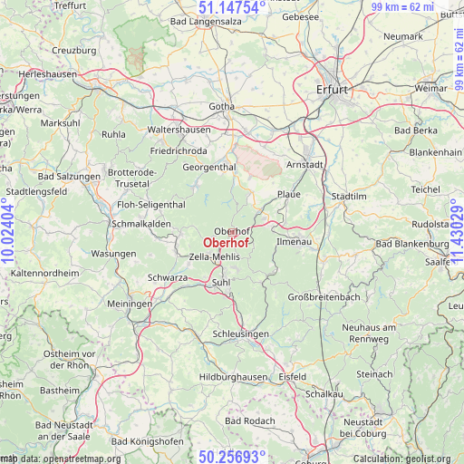
Oberhof GPS coordinates[2]
50° 42' 15.66" North, 10° 43' 37.776" East
| Map corner | latitude | longitude |
|---|---|---|
| Upper-left | 51.14754°, | 10.02404° |
| Center: | 50.70435°, | 10.72716° |
| Lower-right: | 50.25693°, | 11.43029° |
| Map W x H: | 99×99 km | = 61.5×61.5mi |
| max Lat: | 55.01917° ⇑47.7% North |
| Oberhof: | 50.70435° |
| min Lat: | ⇓52.3% South 47.40724° |
| min Long | Oberhof | max Long |
| 5.92978° | 10.72716° | 14.98853° |
| W 62.9%⇐ | ⇒37.1% E |
Elevation
Elevation of Oberhof is 819 m = 2687 ft, and this is 569.9 m = 1870 ft above average elevation for this country.
| Max E: |
1256 m = 4121 ft | 0.59999999999999% |
| Oberhof | 819 m 2687 ft | |
| Avg. | 249.1 m = 817 ft | |
Min E: |
-5 m = -16 ft | 99.4% |
See also: Germany elevation on elevation.city.
Geographical zone
Oberhof is located in North temperate zone (between Tropic of Cancer and the Arctic Circle). Distance of this North polar circle is 1763.4 km =1095.7 mi to North.| Distance of | km | miles | from Oberhof |
|---|---|---|---|
| North Pole | 4369.3 | 2715 | to North |
| Arctic Circle | 1763.4 | 1095.7 | to North |
| Tropic Cancer | 3031.9 | 1883.9 | to South |
| Equator | 5637.8 | 3503.2 | to South |


Nearby cities:
15 places around Oberhof: (largest is in red/bold)
• Angelroda
10.8 km =6.7 mi,  65°
65°
• Benshausen
10.8 km =6.7 mi,  236°
236°
• Bermbach
9.7 km =6 mi,  252°
252°
• Crawinkel
9.6 km =6 mi,  24°
24°
• Elgersburg
8.9 km =5.5 mi,  88°
88°
• Frankenhain
7.2 km =4.5 mi,  36°
36°
• Gehlberg
5.4 km =3.4 mi,  122°
122°
• Geraberg
7.9 km =4.9 mi,  80°
80°
• Geschwenda
7.6 km =4.7 mi, 66°
• Gräfenroda
7.6 km =4.7 mi,  50°
50°
• Luisenthal
8.8 km =5.5 mi,  2°
2°
• Oberschönau
7.9 km =4.9 mi,  279°
279°
• Suhl
10.8 km =6.7 mi,  192°
192°
• Unterschönau
10.2 km =6.3 mi, 277°
• Zella-Mehlis
7.1 km =4.4 mi,  221°
221°
Sources, notices
• [Note1] Compared only with cities in Germany existing in our database
• [Src1] Map data: © OpenStreetMap contributors (CC-BY-SA)
• [Src2] Other city data from geonames.org with taken over terms of usage.
• [Src3] Geographical zone / Annual Mean Temperature by Robert A. Rohde @ Wikipedia
