Letzlingen geodata
Letzlingen (Saxony-Anhalt) is a populated place; located in Germany in Europe/Berlin (GMT+2) time zone. With population of 1,622 people, there are 5647 cities with bigger population in this country. Compared to other cities in Germany, 76.8% of cities are located further ↓South; 74.1% of cities are located further ←West and 73.4% of cities have higher elevation than Letzlingen. Note1
Administrative division(s):
- Level 1: Saxony-Anhalt
- Level 3: Altmarkkreis Salzwedel
- Level 4: Gardelegen


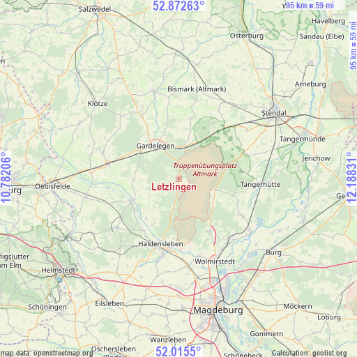
Letzlingen GPS coordinates[2]
52° 26' 46.14" North, 11° 29' 6.648" East
| Map corner | latitude | longitude |
|---|---|---|
| Upper-left | 52.87263°, | 10.78206° |
| Center: | 52.44615°, | 11.48518° |
| Lower-right: | 52.0155°, | 12.18831° |
| Map W x H: | 95.3×95.3 km | = 59.2×59.2mi |
| max Lat: | 55.01917° ⇑23.2% North |
| Letzlingen: | 52.44615° |
| min Lat: | ⇓76.8% South 47.40724° |
| min Long | Letzlingen | max Long |
| 5.92978° | 11.48518° | 14.98853° |
| W 74.1%⇐ | ⇒25.9% E |
Elevation
Elevation of Letzlingen is 70 m = 230 ft, and this is 179.1 m = 588 ft below average elevation for this country.
| Max E: |
1256 m = 4121 ft | 73.4% |
| Avg. | 249.1 m = 817 ft | |
| Letzlingen | 70 m = 230 ft | |
Min E: |
-5 m = -16 ft | 26.6% |
See also: Germany elevation on elevation.city.
Geographical zone
Letzlingen is located in North temperate zone (between Tropic of Cancer and the Arctic Circle). Distance of this North polar circle is 1569.7 km =975.4 mi to North.| Distance of | km | miles | from Letzlingen |
|---|---|---|---|
| North Pole | 4175.6 | 2594.6 | to North |
| Arctic Circle | 1569.7 | 975.4 | to North |
| Tropic Cancer | 3225.5 | 2004.2 | to South |
| Equator | 5831.5 | 3623.5 | to South |


Nearby cities:
15 places around Letzlingen: (largest is in red/bold)
• Berge
14.2 km =8.8 mi,  326°
326°
• Burgstall
14.9 km =9.3 mi,  106°
106°
• Bülstringen
17.1 km =10.6 mi,  212°
212°
• Calvörde
14.1 km =8.8 mi,  246°
246°
• Colbitz
16.5 km =10.3 mi,  150°
150°
• Dolle
10.3 km =6.4 mi, 113°
• Gardelegen
10.7 km =6.6 mi, 325°
• Haldensleben I
18.2 km =11.3 mi,  196°
196°
• Hillersleben
18.2 km =11.3 mi,  181°
181°
• Jävenitz
8.7 km =5.4 mi,  6°
6°
• Kloster Neuendorf
9 km =5.6 mi,  350°
350°
• Lindstedt
16.5 km =10.3 mi, 10°
• Neuenhofe
16 km =9.9 mi,  185°
185°
• Solpke
15 km =9.3 mi,  296°
296°
• Uchtspringe
13 km =8.1 mi,  36°
36°
Sources, notices
• [Note1] Compared only with cities in Germany existing in our database
• [Src1] Map data: © OpenStreetMap contributors (CC-BY-SA)
• [Src2] Other city data from geonames.org with taken over terms of usage.
• [Src3] Geographical zone / Annual Mean Temperature by Robert A. Rohde @ Wikipedia
