Huy-Neinstedt geodata
Huy-Neinstedt (Saxony-Anhalt) is a populated place; located in Germany in Europe/Berlin (GMT+2) time zone. With population of 8,797 people, there are 1823 cities with bigger population in this country. Compared to other cities in Germany, 71.8% of cities are located further ↓South; 65.7% of cities are located further ←West and 55.4% of cities have higher elevation than Huy-Neinstedt. Note1


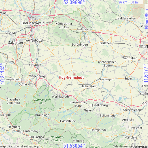
Huy-Neinstedt GPS coordinates[2]
51° 57' 57.06" North, 10° 54' 52.452" East
| Map corner | latitude | longitude |
|---|---|---|
| Upper-left | 52.39698°, | 10.21145° |
| Center: | 51.96585°, | 10.91457° |
| Lower-right: | 51.53054°, | 11.6177° |
| Map W x H: | 96.3×96.3 km | = 59.8×59.8mi |
| max Lat: | 55.01917° ⇑28.2% North |
| Huy-Neinstedt: | 51.96585° |
| min Lat: | ⇓71.8% South 47.40724° |
| min Long | Huy-Neinstedt | max Long |
| 5.92978° | 10.91457° | 14.98853° |
| W 65.7%⇐ | ⇒34.3% E |
Elevation
Elevation of Huy-Neinstedt is 186 m = 610 ft, and this is 63.1 m = 207 ft below average elevation for this country.
| Max E: |
1256 m = 4121 ft | 55.4% |
| Avg. | 249.1 m = 817 ft | |
| Huy-Neinstedt | 186 m = 610 ft | |
Min E: |
-5 m = -16 ft | 44.6% |
See also: Germany elevation on elevation.city.
Geographical zone
Huy-Neinstedt is located in North temperate zone (between Tropic of Cancer and the Arctic Circle). Distance of this North polar circle is 1623.1 km =1008.5 mi to North.| Distance of | km | miles | from Huy-Neinstedt |
|---|---|---|---|
| North Pole | 4229 | 2627.8 | to North |
| Arctic Circle | 1623.1 | 1008.5 | to North |
| Tropic Cancer | 3172.1 | 1971.1 | to South |
| Equator | 5778.1 | 3590.3 | to South |


Nearby cities:
15 places around Huy-Neinstedt: (largest is in red/bold)
• Aspenstedt
4.1 km =2.5 mi,  144°
144°
• Beierstedt
12.6 km =7.8 mi,  342°
342°
• Berßel
10.8 km =6.7 mi,  263°
263°
• Danstedt
6.3 km =3.9 mi,  197°
197°
• Derenburg
10.6 km =6.6 mi,  181°
181°
• Halberstadt
12.5 km =7.8 mi,  128°
128°
• Heudeber
8.6 km =5.3 mi,  214°
214°
• Jerxheim
12.9 km =8 mi,  355°
355°
• Langeln
10.2 km =6.3 mi,  233°
233°
• Langenstein
13.3 km =8.3 mi,  157°
157°
• Reddeber
13.4 km =8.3 mi, 214°
• Sargstedt
5.7 km =3.5 mi,  119°
119°
• Ströbeck
6.1 km =3.8 mi, 160°
• Wackersleben
13.6 km =8.5 mi,  31°
31°
• Wasserleben
11.9 km =7.4 mi,  245°
245°
Sources, notices
• [Note1] Compared only with cities in Germany existing in our database
• [Src1] Map data: © OpenStreetMap contributors (CC-BY-SA)
• [Src2] Other city data from geonames.org with taken over terms of usage.
• [Src3] Geographical zone / Annual Mean Temperature by Robert A. Rohde @ Wikipedia
