Haibach geodata
Haibach (Bavaria) is a populated locality; located in Germany in Europe/Berlin (GMT+2) time zone. With population of 2,161 people, there are 4854 cities with bigger population in this country. Compared to other cities in Germany, 88.6% of cities are located further ↑North; 92.2% of cities are located further ←West and 74.8% of cities have lower elevation than Haibach. Note1
Administrative division(s):
- Level 1: Bavaria
- Level 2: Lower Bavaria
- Level 3: Landkreis Rottal-Inn
- Level 4: Johanniskirchen


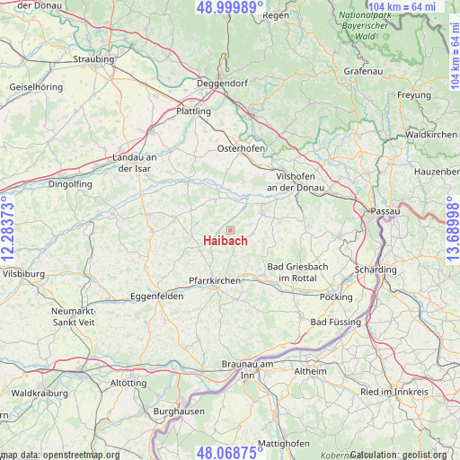
Haibach GPS coordinates[2]
48° 32' 11.256" North, 12° 59' 12.66" East
| Map corner | latitude | longitude |
|---|---|---|
| Upper-left | 48.99989°, | 12.28373° |
| Center: | 48.53646°, | 12.98685° |
| Lower-right: | 48.06875°, | 13.68998° |
| Map W x H: | 103.5×103.5 km | = 64.3×64.3mi |
| max Lat: | 55.01917° ⇑88.6% North |
| Haibach: | 48.53646° |
| min Lat: | ⇓11.4% South 47.40724° |
| min Long | Haibach | max Long |
| 5.92978° | 12.98685° | 14.98853° |
| W 92.2%⇐ | ⇒7.8% E |
Elevation
Elevation of Haibach is 396 m = 1299 ft, and this is 146.9 m = 482 ft above average elevation for this country.
| Max E: |
1256 m = 4121 ft | 25.2% |
| Haibach | 396 m 1299 ft | |
| Avg. | 249.1 m = 817 ft | |
Min E: |
-5 m = -16 ft | 74.8% |
See also: Germany elevation on elevation.city.
Geographical zone
Haibach is located in North temperate zone (between Tropic of Cancer and the Arctic Circle). Distance of this North polar circle is 2004.4 km =1245.5 mi to North.| Distance of | km | miles | from Haibach |
|---|---|---|---|
| North Pole | 4610.3 | 2864.7 | to North |
| Arctic Circle | 2004.4 | 1245.5 | to North |
| Tropic Cancer | 2790.8 | 1734.1 | to South |
| Equator | 5396.7 | 3353.4 | to South |


Nearby cities:
15 places around Haibach: (largest is in red/bold)
• Aidenbach
8.5 km =5.3 mi,  63°
63°
• Aldersbach
9.6 km =6 mi,  51°
51°
• Arnstorf
12.8 km =8 mi,  281°
281°
• Bad Birnbach
12.8 km =8 mi,  142°
142°
• Beutelsbach
9.7 km =6 mi,  81°
81°
• Dietersburg
6.7 km =4.2 mi,  222°
222°
• Egglham
5 km =3.1 mi,  99°
99°
• Eichendorf
14.4 km =8.9 mi,  317°
317°
• Haarbach
12.7 km =7.9 mi,  108°
108°
• Johanniskirchen
2.7 km =1.7 mi,  262°
262°
• Pfarrkirchen
12.2 km =7.6 mi,  197°
197°
• Reut
11.8 km =7.3 mi, 58°
• Rossbach
5.9 km =3.7 mi,  332°
332°
• Roßbach
8.1 km =5 mi, 330°
• Schönau
11.7 km =7.3 mi,  239°
239°
Sources, notices
• [Note1] Compared only with cities in Germany existing in our database
• [Src1] Map data: © OpenStreetMap contributors (CC-BY-SA)
• [Src2] Other city data from geonames.org with taken over terms of usage.
• [Src3] Geographical zone / Annual Mean Temperature by Robert A. Rohde @ Wikipedia
