Großweitzschen geodata
Großweitzschen (Saxony) is a seat of a fourth-order administrative division; located in Germany in Europe/Berlin (GMT+2) time zone. With population of 3,405 people, there are 3684 cities with bigger population in this country. Compared to other cities in Germany, 60.9% of cities are located further ↓South; 92.6% of cities are located further ←West and 54.7% of cities have lower elevation than Großweitzschen. Note1
Administrative division(s):
- Level 1: Saxony
- Level 3: Landkreis Mittelsachsen
- Level 4: Großweitzschen


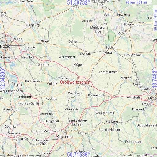
Großweitzschen GPS coordinates[2]
51° 9' 30.42" North, 13° 2' 42.612" East
| Map corner | latitude | longitude |
|---|---|---|
| Upper-left | 51.59732°, | 12.34205° |
| Center: | 51.15845°, | 13.04517° |
| Lower-right: | 50.71536°, | 13.7483° |
| Map W x H: | 98.1×98.1 km | = 61×61mi |
| max Lat: | 55.01917° ⇑39.1% North |
| Großweitzschen: | 51.15845° |
| min Lat: | ⇓60.9% South 47.40724° |
| min Long | Großweitzschen | max Long |
| 5.92978° | 13.04517° | 14.98853° |
| W 92.6%⇐ | ⇒7.4% E |
Elevation
Elevation of Großweitzschen is 256 m = 840 ft, and this is 6.9 m = 23 ft above average elevation for this country.
| Max E: |
1256 m = 4121 ft | 45.3% |
| Großweitzschen | 256 m 840 ft | |
| Avg. | 249.1 m = 817 ft | |
Min E: |
-5 m = -16 ft | 54.7% |
See also: Germany elevation on elevation.city.
Geographical zone
Großweitzschen is located in North temperate zone (between Tropic of Cancer and the Arctic Circle). Distance of this North polar circle is 1712.9 km =1064.3 mi to North.| Distance of | km | miles | from Großweitzschen |
|---|---|---|---|
| North Pole | 4318.8 | 2683.6 | to North |
| Arctic Circle | 1712.9 | 1064.3 | to North |
| Tropic Cancer | 3082.4 | 1915.3 | to South |
| Equator | 5688.3 | 3534.5 | to South |


Nearby cities:
15 places around Großweitzschen: (largest is in red/bold)
• Bockelwitz
7.7 km =4.8 mi,  306°
306°
• Döbeln
6.1 km =3.8 mi,  131°
131°
• Ebersbach
8.2 km =5.1 mi,  144°
144°
• Geringswalde
13.2 km =8.2 mi,  226°
226°
• Gersdorf
9 km =5.6 mi,  235°
235°
• Hartha
8.3 km =5.2 mi,  216°
216°
• Kriebstein
12.2 km =7.6 mi,  189°
189°
• Leisnig
8.2 km =5.1 mi,  269°
269°
• Mochau
10 km =6.2 mi,  106°
106°
• Mügeln
8.6 km =5.3 mi,  0°
0°
• Naundorf
11.8 km =7.3 mi,  21°
21°
• Niederstriegis
11.1 km =6.9 mi, 139°
• Ostrau
9.6 km =6 mi,  61°
61°
• Ostrau
12.4 km =7.7 mi,  295°
295°
• Waldheim
9.7 km =6 mi, 190°
Sources, notices
• [Note1] Compared only with cities in Germany existing in our database
• [Src1] Map data: © OpenStreetMap contributors (CC-BY-SA)
• [Src2] Other city data from geonames.org with taken over terms of usage.
• [Src3] Geographical zone / Annual Mean Temperature by Robert A. Rohde @ Wikipedia
