Hilbersdorf geodata
Hilbersdorf (Thuringia) is a seat of a fourth-order administrative division; located in Germany in Europe/Berlin (GMT+2) time zone. With population of 234 people, there are 10335 cities with bigger population in this country. Compared to other cities in Germany, 54.4% of cities are located further ↓South; 83.9% of cities are located further ←West and 63.6% of cities have lower elevation than Hilbersdorf. Note1


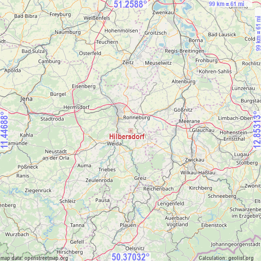
Hilbersdorf GPS coordinates[2]
50° 49' 0.012" North, 12° 9' 0" East
| Map corner | latitude | longitude |
|---|---|---|
| Upper-left | 51.2588°, | 11.44688° |
| Center: | 50.81667°, | 12.15° |
| Lower-right: | 50.37032°, | 12.85313° |
| Map W x H: | 98.8×98.8 km | = 61.4×61.4mi |
| max Lat: | 55.01917° ⇑45.6% North |
| Hilbersdorf: | 50.81667° |
| min Lat: | ⇓54.4% South 47.40724° |
| min Long | Hilbersdorf | max Long |
| 5.92978° | 12.15° | 14.98853° |
| W 83.9%⇐ | ⇒16.1% E |
Elevation
Elevation of Hilbersdorf is 312 m = 1024 ft, and this is 62.9 m = 206 ft above average elevation for this country.
| Max E: |
1256 m = 4121 ft | 36.4% |
| Hilbersdorf | 312 m 1024 ft | |
| Avg. | 249.1 m = 817 ft | |
Min E: |
-5 m = -16 ft | 63.6% |
See also: Germany elevation on elevation.city.
Geographical zone
Hilbersdorf is located in North temperate zone (between Tropic of Cancer and the Arctic Circle). Distance of this North polar circle is 1750.9 km =1088 mi to North.| Distance of | km | miles | from Hilbersdorf |
|---|---|---|---|
| North Pole | 4356.8 | 2707.2 | to North |
| Arctic Circle | 1750.9 | 1088 | to North |
| Tropic Cancer | 3044.4 | 1891.7 | to South |
| Equator | 5650.3 | 3510.9 | to South |


Nearby cities:
15 places around Hilbersdorf: (largest is in red/bold)
• Berga
7.3 km =4.5 mi,  171°
171°
• Braunichswalde
5 km =3.1 mi,  111°
111°
• Crimla
7.3 km =4.5 mi,  255°
255°
• Endschütz
3.4 km =2.1 mi,  196°
196°
• Gauern
5.1 km =3.2 mi,  136°
136°
• Gera
8.5 km =5.3 mi,  325°
325°
• Heukewalde
8.4 km =5.2 mi,  77°
77°
• Korbussen
8.3 km =5.2 mi,  10°
10°
• Paitzdorf
6 km =3.7 mi,  51°
51°
• Ronneburg
5.8 km =3.6 mi,  26°
26°
• Rückersdorf
5 km =3.1 mi, 83°
• Seelingstädt
8.2 km =5.1 mi,  126°
126°
• Weida
7.9 km =4.9 mi,  233°
233°
• Wünschendorf
4.3 km =2.7 mi,  238°
238°
• Zedlitz
8.2 km =5.1 mi,  270°
270°
Sources, notices
• [Note1] Compared only with cities in Germany existing in our database
• [Src1] Map data: © OpenStreetMap contributors (CC-BY-SA)
• [Src2] Other city data from geonames.org with taken over terms of usage.
• [Src3] Geographical zone / Annual Mean Temperature by Robert A. Rohde @ Wikipedia
