Föckelberg geodata
Föckelberg (Rheinland-Pfalz) is a seat of a fourth-order administrative division; located in Germany in Europe/Berlin (GMT+2) time zone. With population of 400 people, there are 9693 cities with bigger population in this country. Compared to other cities in Germany, 75.2% of cities are located further ↑North; 87.4% of cities are located further →East and 82.4% of cities have lower elevation than Föckelberg. Note1


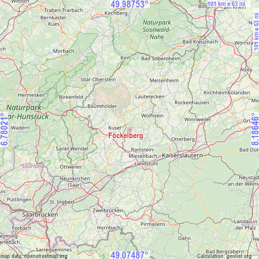
Föckelberg GPS coordinates[2]
49° 31' 59.988" North, 7° 28' 59.988" East
| Map corner | latitude | longitude |
|---|---|---|
| Upper-left | 49.98753°, | 6.78021° |
| Center: | 49.53333°, | 7.48333° |
| Lower-right: | 49.07487°, | 8.18646° |
| Map W x H: | 101.5×101.5 km | = 63.1×63.1mi |
| max Lat: | 55.01917° ⇑75.2% North |
| Föckelberg: | 49.53333° |
| min Lat: | ⇓24.8% South 47.40724° |
| min Long | Föckelberg | max Long |
| 5.92978° | 7.48333° | 14.98853° |
| W 12.6%⇐ | ⇒87.4% E |
Elevation
Elevation of Föckelberg is 449 m = 1473 ft, and this is 199.9 m = 656 ft above average elevation for this country.
| Max E: |
1256 m = 4121 ft | 17.6% |
| Föckelberg | 449 m 1473 ft | |
| Avg. | 249.1 m = 817 ft | |
Min E: |
-5 m = -16 ft | 82.4% |
See also: Germany elevation on elevation.city.
Geographical zone
Föckelberg is located in North temperate zone (between Tropic of Cancer and the Arctic Circle). Distance of this North polar circle is 1893.6 km =1176.6 mi to North.| Distance of | km | miles | from Föckelberg |
|---|---|---|---|
| North Pole | 4499.5 | 2795.9 | to North |
| Arctic Circle | 1893.6 | 1176.6 | to North |
| Tropic Cancer | 2901.7 | 1803 | to South |
| Equator | 5507.6 | 3422.3 | to South |


Nearby cities:
15 places around Föckelberg: (largest is in red/bold)
• Altenglan
2.2 km =1.4 mi,  327°
327°
• Bedesbach
4.3 km =2.7 mi, 334°
• Bosenbach
3.5 km =2.2 mi,  77°
77°
• Erdesbach
5.4 km =3.4 mi, 326°
• Etschberg
4.1 km =2.5 mi,  242°
242°
• Haschbach am Remigiusberg
3.6 km =2.2 mi,  270°
270°
• Jettenbach
5.3 km =3.3 mi,  88°
88°
• Kusel
5.7 km =3.5 mi, 274°
• Matzenbach
3.9 km =2.4 mi,  197°
197°
• Neunkirchen am Potzberg
3.7 km =2.3 mi,  180°
180°
• Niederstaufenbach
2.4 km =1.5 mi, 90°
• Oberstaufenbach
2.7 km =1.7 mi,  135°
135°
• Rammelsbach
3 km =1.9 mi,  288°
288°
• Theisbergstegen
3.1 km =1.9 mi, 235°
• Welchweiler
5.7 km =3.5 mi,  12°
12°
Sources, notices
• [Note1] Compared only with cities in Germany existing in our database
• [Src1] Map data: © OpenStreetMap contributors (CC-BY-SA)
• [Src2] Other city data from geonames.org with taken over terms of usage.
• [Src3] Geographical zone / Annual Mean Temperature by Robert A. Rohde @ Wikipedia
