Bärenstein geodata
Bärenstein (Saxony) is a seat of a fourth-order administrative division; located in Germany in Europe/Berlin (GMT+2) time zone. With population of 2,804 people, there are 4161 cities with bigger population in this country. Compared to other cities in Germany, 52.8% of cities are located further ↑North; 92.5% of cities are located further ←West and 98.1% of cities have lower elevation than Bärenstein. Note1


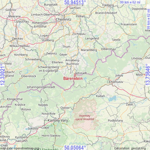
Bärenstein GPS coordinates[2]
50° 30' 0" North, 13° 1' 59.988" East
| Map corner | latitude | longitude |
|---|---|---|
| Upper-left | 50.94513°, | 12.33021° |
| Center: | 50.5°, | 13.03333° |
| Lower-right: | 50.05064°, | 13.73646° |
| Map W x H: | 99.5×99.5 km | = 61.8×61.8mi |
| max Lat: | 55.01917° ⇑52.8% North |
| Bärenstein: | 50.5° |
| min Lat: | ⇓47.2% South 47.40724° |
| min Long | Bärenstein | max Long |
| 5.92978° | 13.03333° | 14.98853° |
| W 92.5%⇐ | ⇒7.5% E |
Elevation
Elevation of Bärenstein is 715 m = 2346 ft, and this is 465.9 m = 1529 ft above average elevation for this country.
| Max E: |
1256 m = 4121 ft | 1.9% |
| Bärenstein | 715 m 2346 ft | |
| Avg. | 249.1 m = 817 ft | |
Min E: |
-5 m = -16 ft | 98.1% |
See also: Germany elevation on elevation.city.
Geographical zone
Bärenstein is located in North temperate zone (between Tropic of Cancer and the Arctic Circle). Distance of this North polar circle is 1786.1 km =1109.8 mi to North.| Distance of | km | miles | from Bärenstein |
|---|---|---|---|
| North Pole | 4392 | 2729.1 | to North |
| Arctic Circle | 1786.1 | 1109.8 | to North |
| Tropic Cancer | 3009.2 | 1869.8 | to South |
| Equator | 5615.1 | 3489.1 | to South |


Nearby cities:
15 places around Bärenstein: (largest is in red/bold)
• Annaberg-Buchholz
9 km =5.6 mi,  347°
347°
• Crottendorf
6.2 km =3.9 mi,  287°
287°
• Elterlein
14.4 km =8.9 mi,  306°
306°
• Jöhstadt
4.5 km =2.8 mi,  72°
72°
• Kurort Oberwiesenthal
10.1 km =6.3 mi,  207°
207°
• Königswalde
5.7 km =3.5 mi,  11°
11°
• Markersbach
12.8 km =8 mi, 287°
• Mildenau
10.1 km =6.3 mi,  16°
16°
• Pöhla
15.2 km =9.4 mi,  274°
274°
• Raschau
14.6 km =9.1 mi,  283°
283°
• Scheibenberg
9.7 km =6 mi,  297°
297°
• Schlettau
8.7 km =5.4 mi,  318°
318°
• Tannenberg
13.7 km =8.5 mi,  330°
330°
• Thermalbad Wiesenbad
13 km =8.1 mi, 5°
• Wiesa
12.4 km =7.7 mi, 353°
Sources, notices
• [Note1] Compared only with cities in Germany existing in our database
• [Src1] Map data: © OpenStreetMap contributors (CC-BY-SA)
• [Src2] Other city data from geonames.org with taken over terms of usage.
• [Src3] Geographical zone / Annual Mean Temperature by Robert A. Rohde @ Wikipedia
