Spentrup geodata
Spentrup (Central Jutland) is a populated place; located in Denmark in Europe/Copenhagen (GMT+2) time zone. With population of 2,155 people, there are 287 cities with bigger population in this country. Compared to other cities in Denmark, 85.4% of cities are located further ↓South; 58.8% of cities are located further →East and 78.7% of cities have lower elevation than Spentrup. Note1


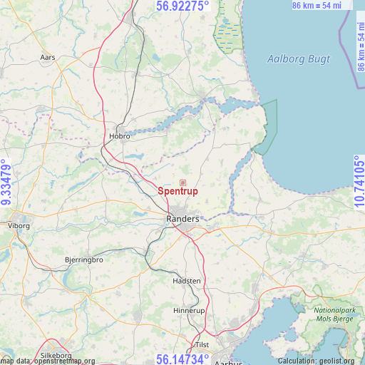
Spentrup GPS coordinates[2]
56° 32' 13.308" North, 10° 2' 16.512" East
| Map corner | latitude | longitude |
|---|---|---|
| Upper-left | 56.92275°, | 9.33479° |
| Center: | 56.53703°, | 10.03792° |
| Lower-right: | 56.14734°, | 10.74105° |
| Map W x H: | 86.2×86.2 km | = 53.6×53.6mi |
| max Lat: | 57.72093° ⇑14.6% North |
| Spentrup: | 56.53703° |
| min Lat: | ⇓85.4% South 54.57644° |
| min Long | Spentrup | max Long |
| 8.12605° | 10.03792° | 15.18662° |
| W 41.2%⇐ | ⇒58.8% E |
Elevation
Elevation of Spentrup is 45 m = 148 ft, and this is 17.7 m = 58 ft above average elevation for this country.
| Max E: |
114 m = 374 ft | 21.3% |
| Spentrup | 45 m 148 ft | |
| Avg. | 27.3 m = 90 ft | |
Min E: |
0 m = 0 ft | 78.7% |
See also: Denmark elevation on elevation.city.
Geographical zone
Spentrup is located in North temperate zone (between Tropic of Cancer and the Arctic Circle). Distance of this North polar circle is 1114.8 km =692.7 mi to North.| Distance of | km | miles | from Spentrup |
|---|---|---|---|
| North Pole | 3720.7 | 2311.9 | to North |
| Arctic Circle | 1114.8 | 692.7 | to North |
| Tropic Cancer | 3680.4 | 2286.9 | to South |
| Equator | 6286.3 | 3906.1 | to South |


Nearby cities:
15 places around Spentrup: (largest is in red/bold)
• Allingåbro
19.1 km =11.9 mi,  115°
115°
• Arden
27.9 km =17.3 mi,  337°
337°
• Assentoft
12.7 km =7.9 mi,  146°
146°
• Auning
24 km =14.9 mi, 119°
• Bjerringbro
29.2 km =18.1 mi,  232°
232°
• Hadsten
23.2 km =14.4 mi,  178°
178°
• Hadsund
20.3 km =12.6 mi,  13°
13°
• Hinnerup
30.2 km =18.8 mi, 177°
• Hobro
19.2 km =11.9 mi,  307°
307°
• Hornslet
30.1 km =18.7 mi,  144°
144°
• Langå
18.5 km =11.5 mi,  208°
208°
• Mariager
13.1 km =8.1 mi, 342°
• Randers
8.5 km =5.3 mi, 180°
• Trige
32.3 km =20.1 mi,  167°
167°
• Ulstrup
22.2 km =13.8 mi,  222°
222°
Sources, notices
• [Note1] Compared only with cities in Denmark existing in our database
• [Src1] Map data: © OpenStreetMap contributors (CC-BY-SA)
• [Src2] Other city data from geonames.org with taken over terms of usage.
• [Src3] Geographical zone / Annual Mean Temperature by Robert A. Rohde @ Wikipedia
