Nedroma geodata
Nedroma (Tlemcen) is a populated place; located in Algeria in Africa/Algiers (GMT+1) time zone. With population of 36,995 people, there are 139 cities with bigger population in this country. Compared to other cities in Algeria, 77.5% of cities are located further ↑North; 99.2% of cities are located further →East and 53.9% of cities have lower elevation than Nedroma. Note1


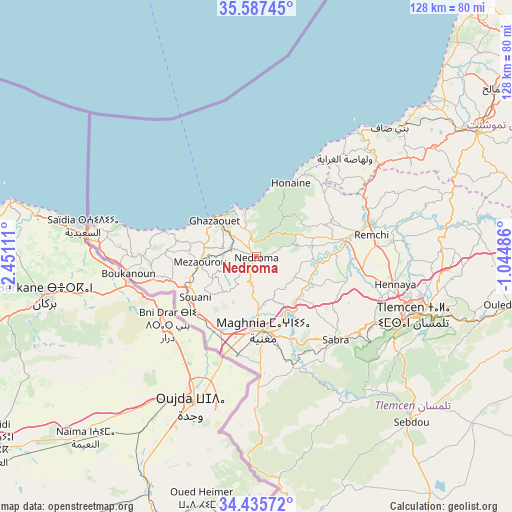
Nedroma GPS coordinates[2]
35° 0' 48.996" North, 1° 44' 52.764" West
| Map corner | latitude | longitude |
|---|---|---|
| Upper-left | 35.58745°, | -2.45111° |
| Center: | 35.01361°, | -1.74799° |
| Lower-right: | 34.43572°, | -1.04486° |
| Map W x H: | 128.1×128.1 km | = 79.6×79.6mi |
| max Lat: | 36.92917° ⇑77.5% North |
| Nedroma: | 35.01361° |
| min Lat: | ⇓22.5% South 22.785° |
| min Long | Nedroma | max Long |
| -8.14743° | -1.74799° | 8.46667° |
| W 0.8%⇐ | ⇒99.2% E |
Elevation
Elevation of Nedroma is 355 m = 1165 ft, and this is 83.5 m = 274 ft below average elevation for this country.
| Max E: |
1392 m = 4567 ft | 46.1% |
| Avg. | 438.5 m = 1439 ft | |
| Nedroma | 355 m = 1165 ft | |
Min E: |
5 m = 16 ft | 53.9% |
See also: Algeria elevation on elevation.city.
Geographical zone
Nedroma is located in North temperate zone (between Tropic of Cancer and the Arctic Circle). Distance of this Northern Tropic circle is 1287.2 km =799.8 mi to South.| Distance of | km | miles | from Nedroma |
|---|---|---|---|
| North Pole | 6113.9 | 3799 | to North |
| Arctic Circle | 3508 | 2179.8 | to North |
| Tropic Cancer | 1287.2 | 799.8 | to South |
| Equator | 3893.1 | 2419.1 | to South |


Nearby cities:
15 places around Nedroma: (largest is in red/bold)
• Aïn Temouchent
63.6 km =39.5 mi,  60°
60°
• Beni Mester
33.6 km =20.9 mi,  118°
118°
• Beni Saf
46.1 km =28.6 mi,  46°
46°
• Bensekrane
48.2 km =30 mi,  81°
81°
• Chetouane
42.5 km =26.4 mi,  103°
103°
• El Malah
72.9 km =45.3 mi, 54°
• Hammam Bou Hadjar
81.7 km =50.8 mi, 60°
• Hennaya
35.3 km =21.9 mi, 101°
• Mansoûra
40.9 km =25.4 mi,  114°
114°
• Ouled Mimoun
66.2 km =41.1 mi, 100°
• Remchi
29.1 km =18.1 mi, 79°
• Sebdou
56.6 km =35.2 mi,  137°
137°
• Sidi Abdelli
56 km =34.8 mi, 83°
• Sidi Senoussi سيدي سنوسي
59.5 km =37 mi,  91°
91°
• Tlemcen
42.2 km =26.2 mi, 110°
Sources, notices
• [Note1] Compared only with cities in Algeria existing in our database
• [Src1] Map data: © OpenStreetMap contributors (CC-BY-SA)
• [Src2] Other city data from geonames.org with taken over terms of usage.
• [Src3] Geographical zone / Annual Mean Temperature by Robert A. Rohde @ Wikipedia
