Paide geodata
Paide (Järvamaa) is a seat of a first-order administrative division; located in Estonia in Europe/Tallinn (GMT+3) time zone. With population of 9,735 people, there are 14 cities with bigger population in this country. Compared to other cities in Estonia, 50% of cities are located further ↓South; 52.1% of cities are located further ←West and 69.5% of cities have lower elevation than Paide. Note1


Paide GPS coordinates[2]
58° 53' 8.016" North, 25° 33' 25.992" East
| Map corner | latitude | longitude |
|---|---|---|
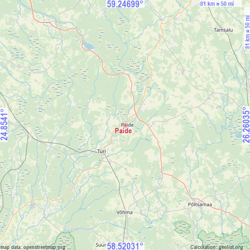
| Upper-left | 59.24699°, | 24.8541° |
| Center: | 58.88556°, | 25.55722° |
| Lower-right: | 58.52031°, | 26.26035° |
| Map W x H: | 80.8×80.8 km | = 50.2×50.2mi |
| max Lat: | 59.57639° ⇑50% North |
| Paide: | 58.88556° |
| min Lat: | ⇓50% South 57.72778° |
| min Long | Paide | max Long |
| 22.24646° | 25.55722° | 28.19028° |
| W 52.1%⇐ | ⇒47.9% E |
Elevation
Elevation of Paide is 66 m = 217 ft, and this is 12.8 m = 42 ft above average elevation for this country.
| Max E: |
141 m = 463 ft | 30.5% |
| Paide | 66 m 217 ft | |
| Avg. | 53.2 m = 175 ft | |
Min E: |
6 m = 20 ft | 69.5% |
See also: Estonia elevation on elevation.city.
Geographical zone
Paide is located in North temperate zone (between Tropic of Cancer and the Arctic Circle). Distance of this North polar circle is 853.7 km =530.5 mi to North.| Distance of | km | miles | from Paide |
|---|---|---|---|
| North Pole | 3459.6 | 2149.7 | to North |
| Arctic Circle | 853.7 | 530.5 | to North |
| Tropic Cancer | 3941.5 | 2449.1 | to South |
| Equator | 6547.5 | 4068.4 | to South |


Nearby cities:
15 places around Paide: (largest is in red/bold)
• Adavere
28 km =17.4 mi,  135°
135°
• Aravete
30.8 km =19.1 mi,  22°
22°
• Ardu
26.2 km =16.3 mi,  335°
335°
• Järva-Jaani
25.4 km =15.8 mi,  47°
47°
• Kehtna
39.3 km =24.4 mi,  277°
277°
• Koeru
28.5 km =17.7 mi,  72°
72°
• Olustvere
36.9 km =22.9 mi,  179°
179°
• Põltsamaa
35.2 km =21.9 mi, 137°
• Suure-Jaani
39.2 km =24.4 mi,  187°
187°
• Särevere
13 km =8.1 mi,  214°
214°
• Türi
11.2 km =7 mi,  219°
219°
• Türi-Alliku
9.8 km =6.1 mi, 217°
• Vyatsa
6.4 km =4 mi,  270°
270°
• Võhma
28.6 km =17.8 mi, 181°
• Võisiku
35.5 km =22.1 mi, 143°
Sources, notices
• [Note1] Compared only with cities in Estonia existing in our database
• [Src1] Map data: © OpenStreetMap contributors (CC-BY-SA)
• [Src2] Other city data from geonames.org with taken over terms of usage.
• [Src3] Geographical zone / Annual Mean Temperature by Robert A. Rohde @ Wikipedia
